Chapter 2: Community and Historical Ecology
HISTORIC IMPACTS AND RESTORATION EFFORTS
I. History of Land and Water Management
Ahupuaʻa and Moku: An Indigenous Resource Management Approach
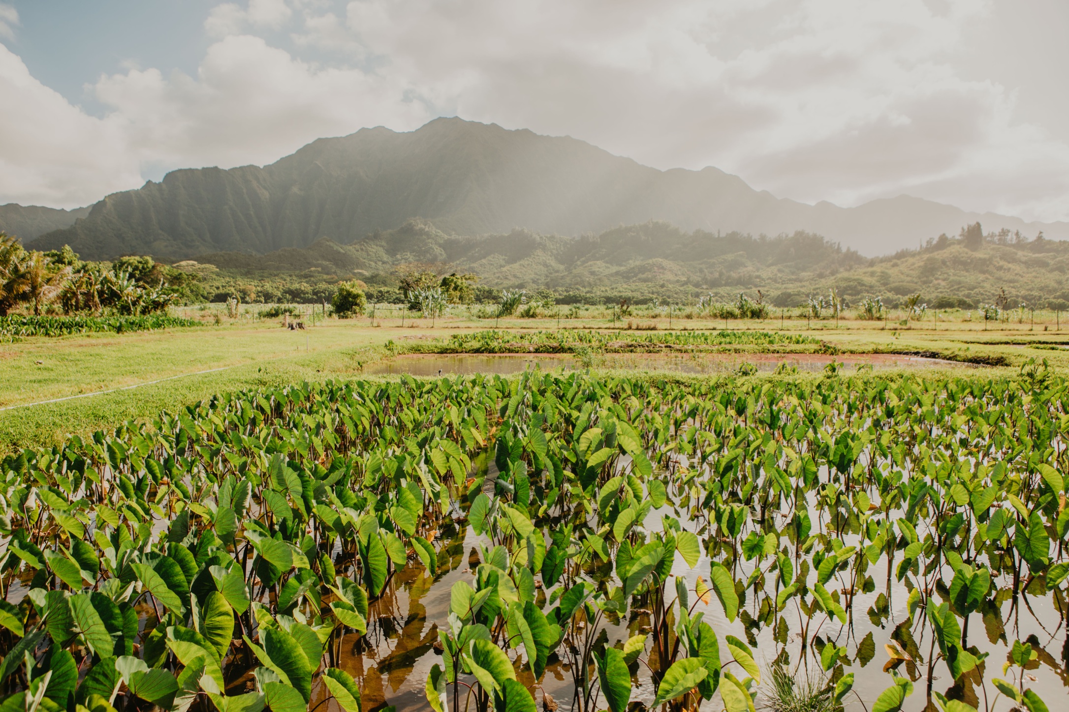
Indigenous resource management approaches seek ʻāina momona: a state of sustainable abundance that simultaneously honors the generations past, fulfills the needs of the current generation, and sets the foundation for the well-being of future generations. The moku and ahupuaʻa systems remain important for achieving ʻāina momona. An ahupuaʻa is a Hawaiian conceptualization of a social-ecological community that typically extends from the mountains to the ocean and often correlates with watershed boundaries. Within each ahupuaʻa, the community manages and has access to zones for resources spanning the forest, stream, various forms of agro-ecology, aquaculture, and marine environments.
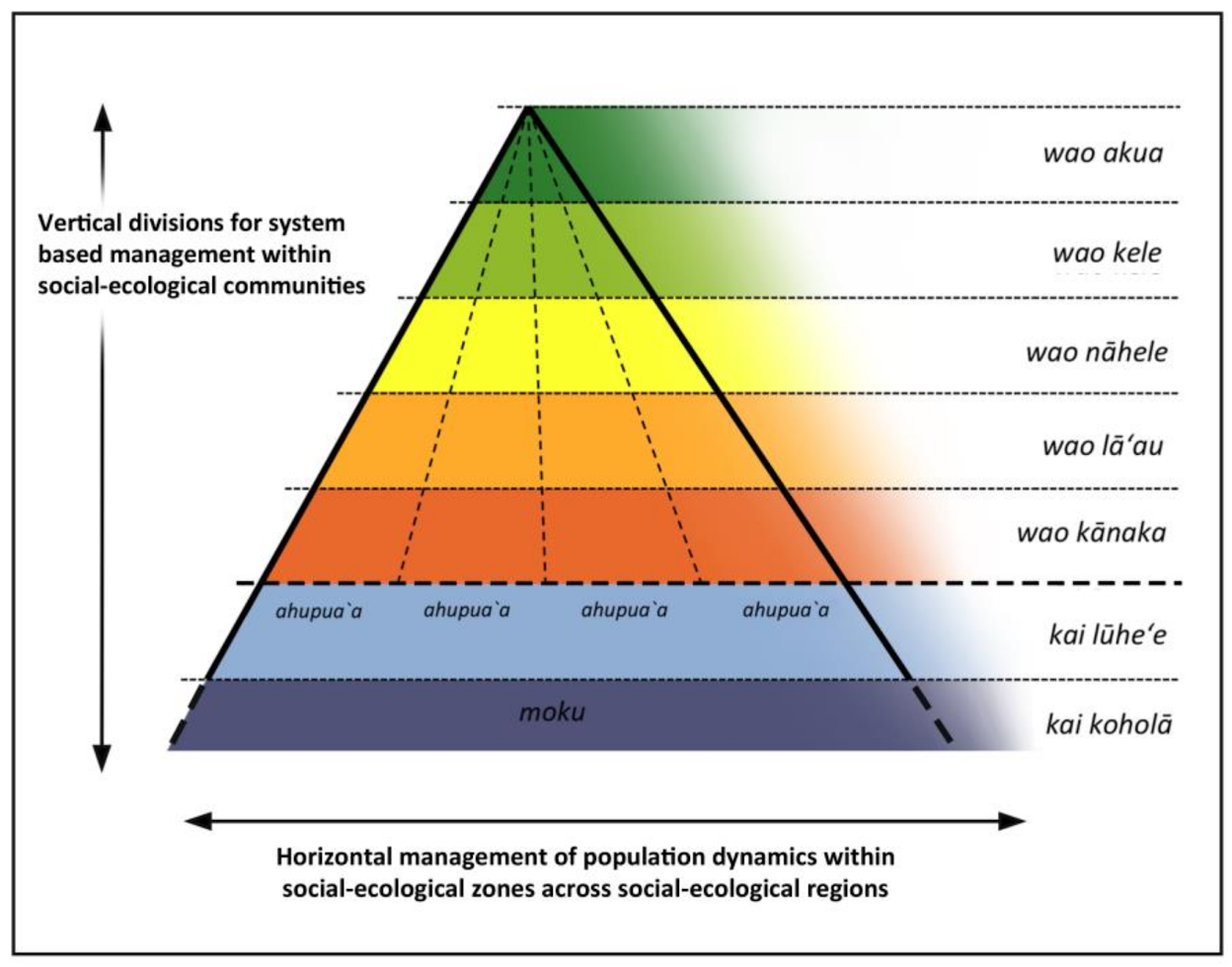
Figure 1: Vertical zones within an ahupuaʻa provided all of the necessary resources for that community; horizontal zones enabled managed across communities at the moku scale. Credit: Winter et al, The Moku System: Managing Biocultural Resources for Abundance within Social -Ecological Regions in Hawaiʻi, 2018.
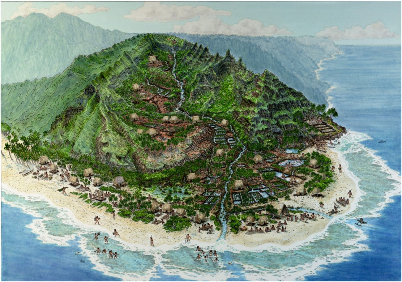
Figure 2: Illustration of a Hawaiian ahupuaʻa within the moku system. Credit: National Tropical Botanical Garden, 2002.
Vertical zones within an ahupuaʻa designated different realms involving the specific communities involved in those zones, and provided all of the necessary resources for that community. Furthermore, horizontal zones enabled management across communities at the moku scale. Moku consists of multiple adjacent ahupuaʻa grouped together, with each island containing several moku. Thus, moku aligns with climatic regions and population dynamics for wider-ranging resource species, facilitating specialized management at the landscape scale (Winter et al. 2018a, 2020a).
The ahupuaʻa of Heʻeia sits within the moku of Koʻolaupoko on the east side of the mokupuni, or island, of Oʻahu.
Revitalization of Indigenous resource management approaches has been an important aspect of the Hawaiian Renaissance, and they have been held up locally and globally as models in the realms of conservation and sustainability (IUCN 2016, Chang et al. 2019, Gon and Winter 2019). Many components of the ahupuaʻa system, such as agriculture, aquaculture, and nearshore fishery management, have been documented, studied, and revived in the name of both sustainability and perpetuation of Hawaiʻi's indigenous culture (Winter & Lucas, 2017). Restoring multiple components to bring back the functionality of an entire ahupuaʻa in the modern context, however, requires improved understanding of linkages altered by hundreds of years of historical change, and new drivers of social and ecosystem processes. The ahupuaʻa concept thus provides policy-makers and cultural practitioners (e.g. Delevaux et al., 2018) with an important framework for research questions to evaluate the success of individual restoration projects.
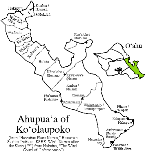
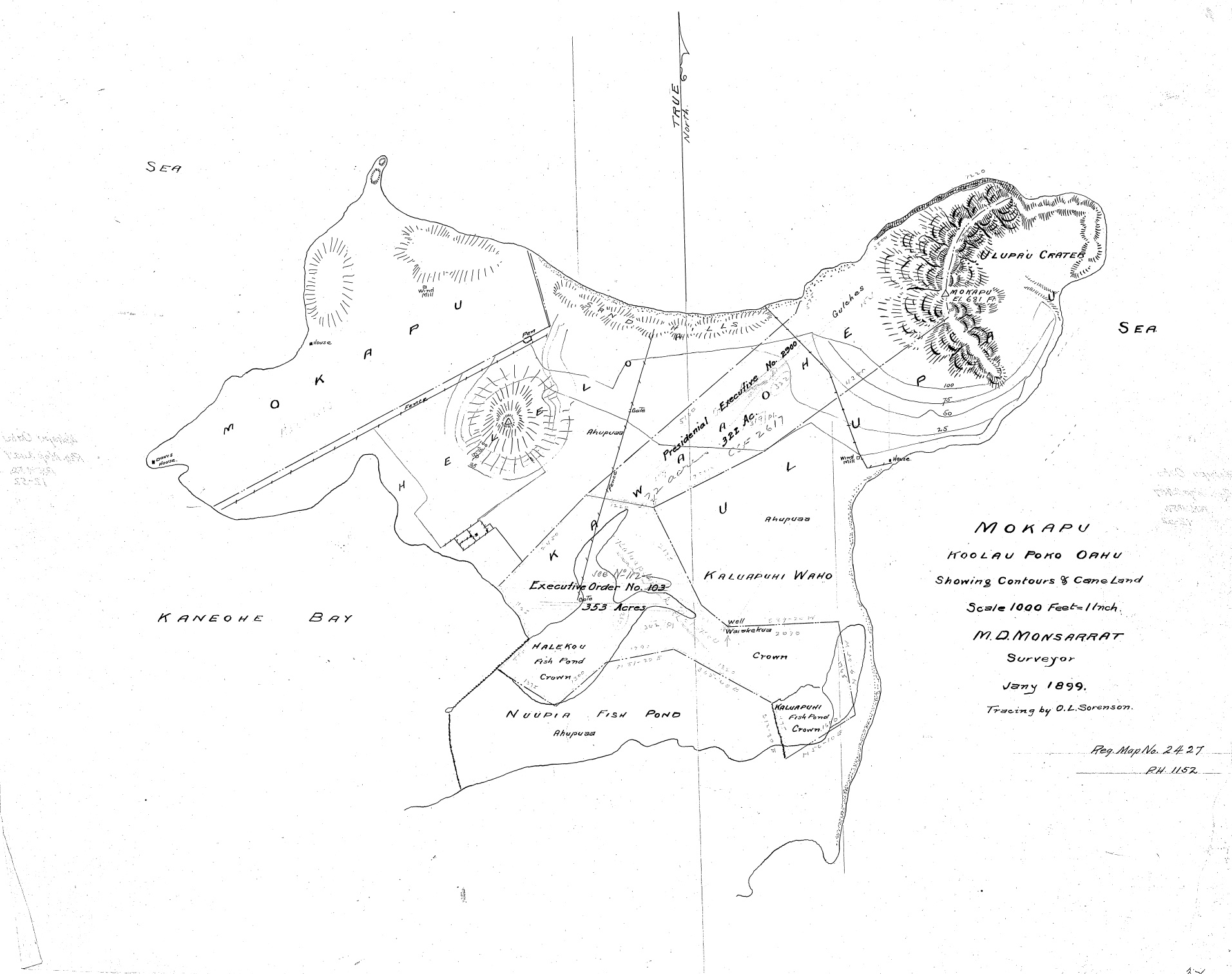
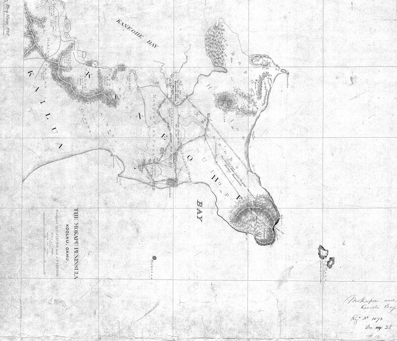
Figure 3: This figure shows the ahupuaʻa land divisions in the Koʻolaupoko moku, with Heʻeia extending from the Koʻolau mountain ridge to Mokapu peninsula. Credit: kanakagenealogy.wordpress.com, n.d.
Additional Map Resources
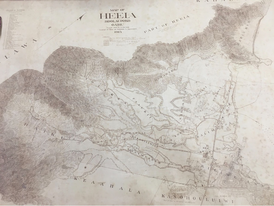
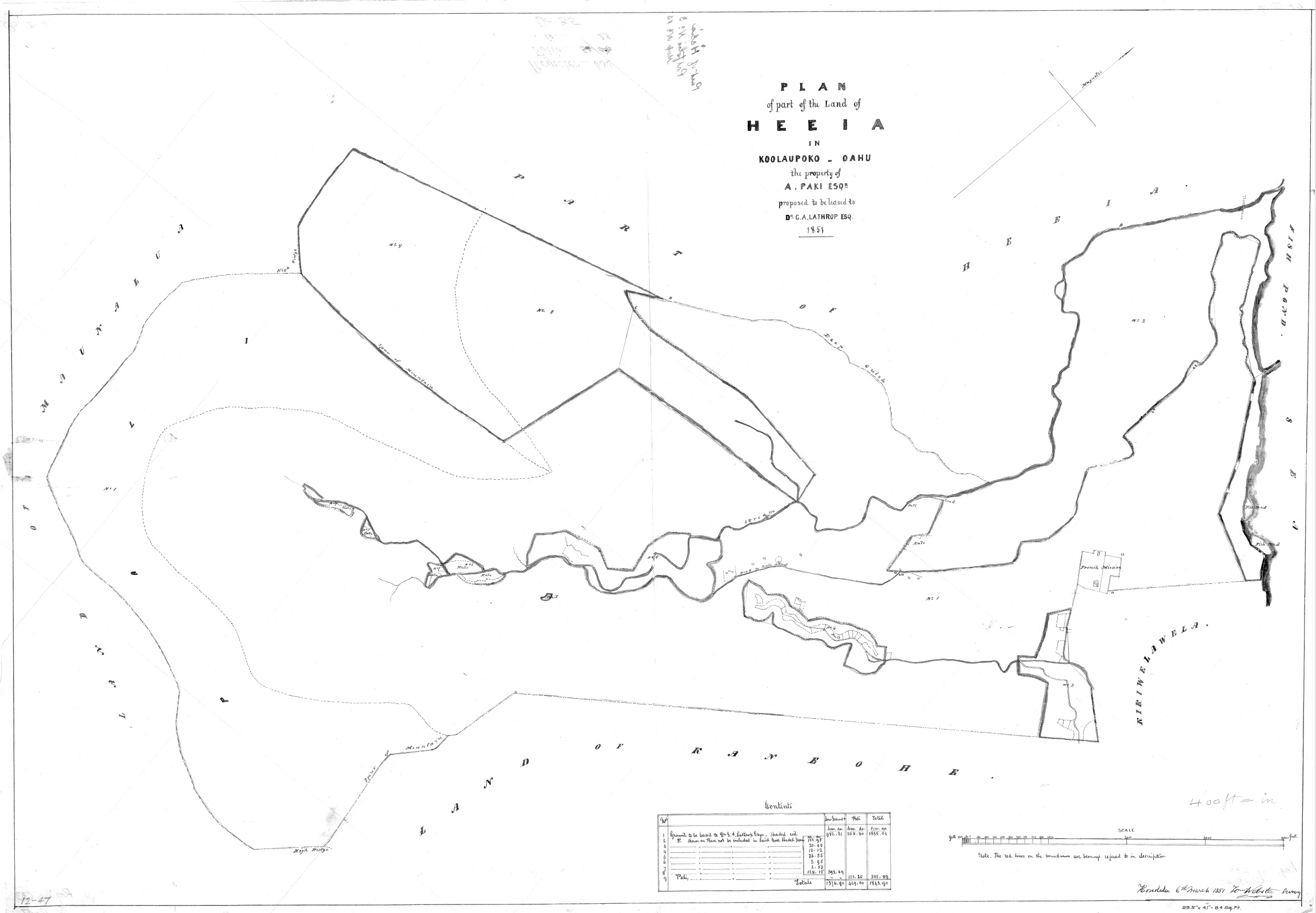
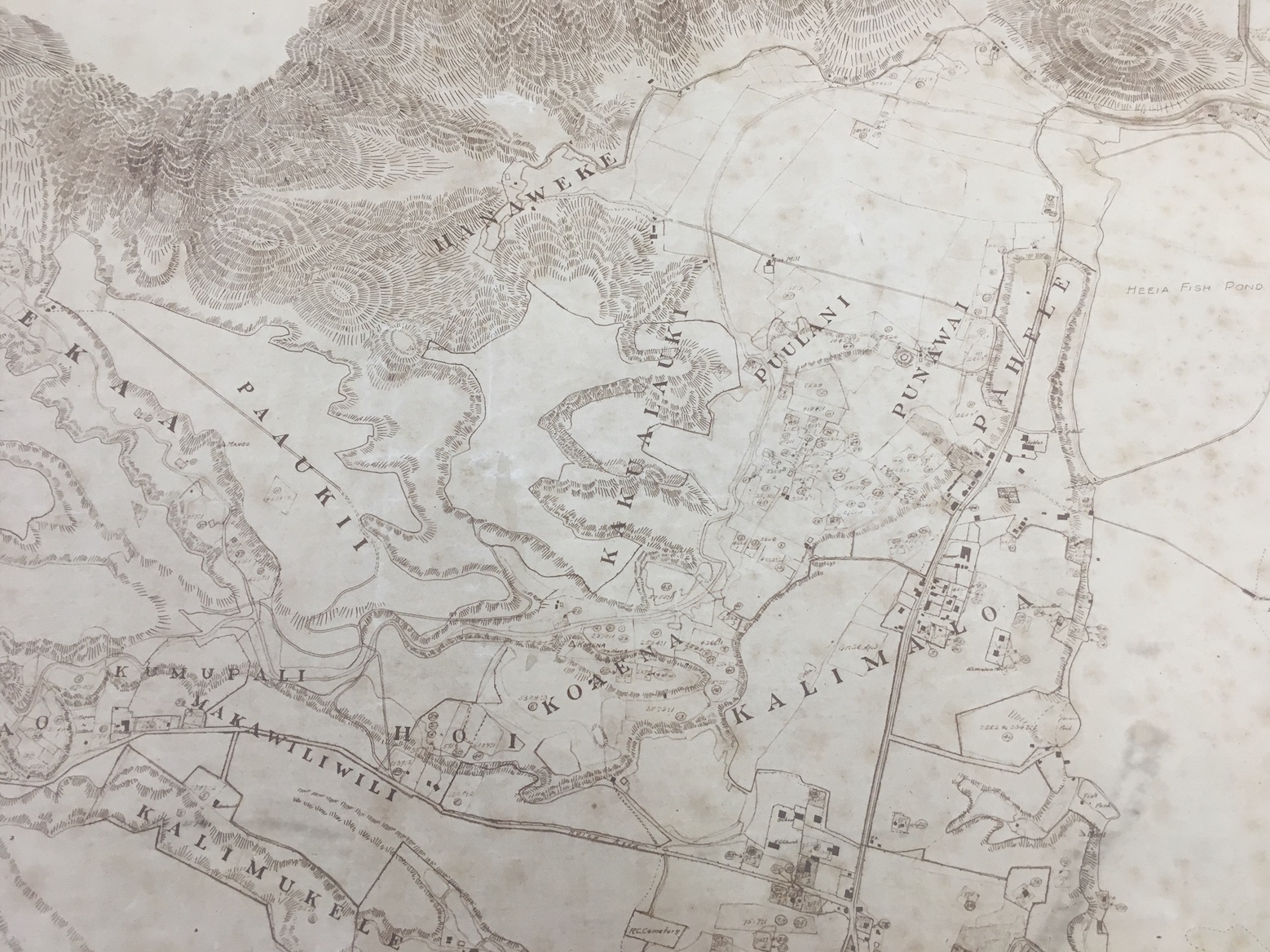
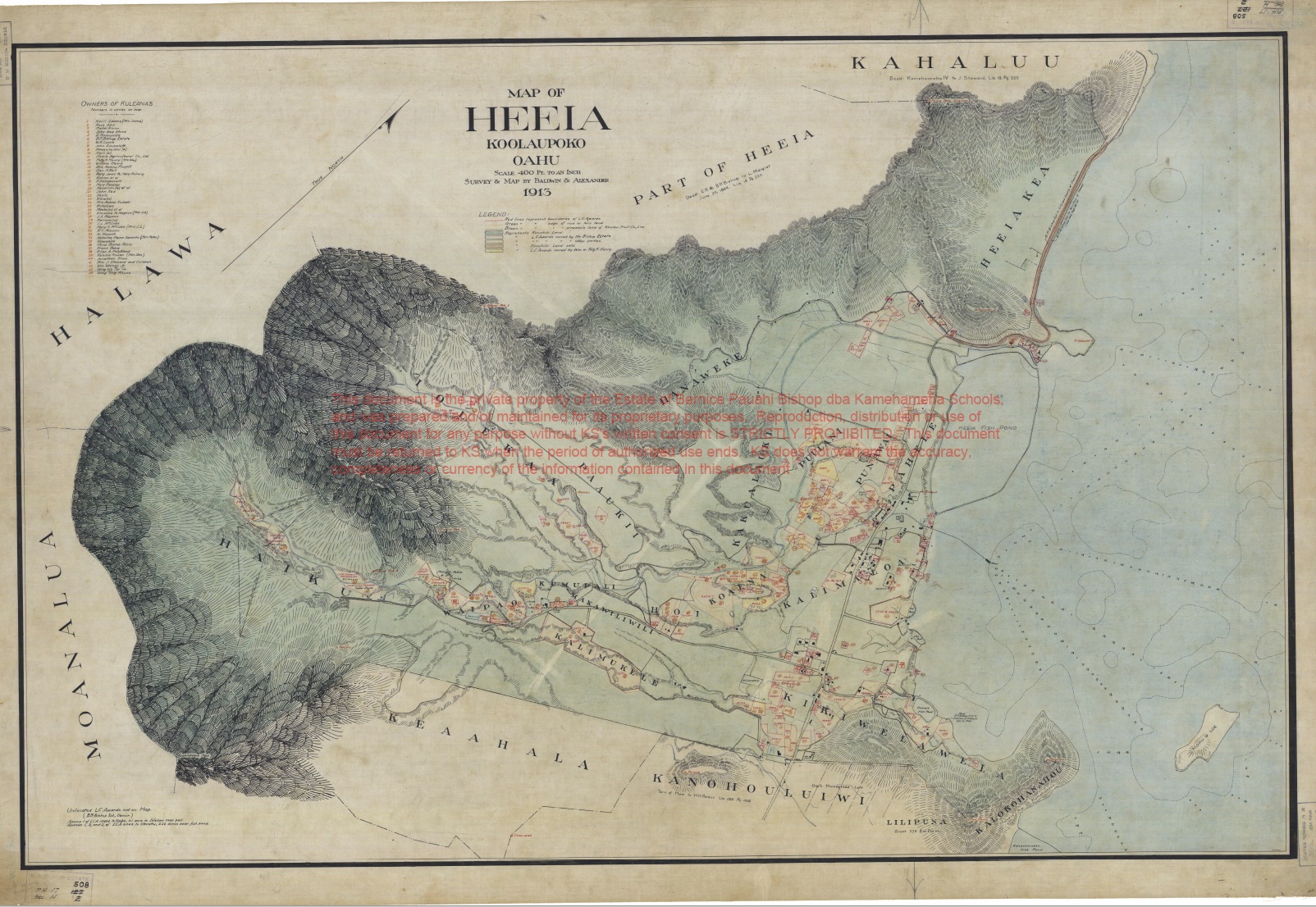
Figure 4: Map of Heʻeia, Koʻolaupoko, Oʻahu 1913. Baldwin and Alexander. Source: Credit: Hawaiʻi State Archives, 2022.
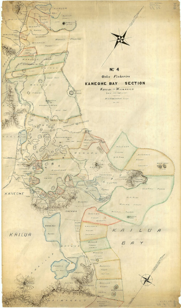
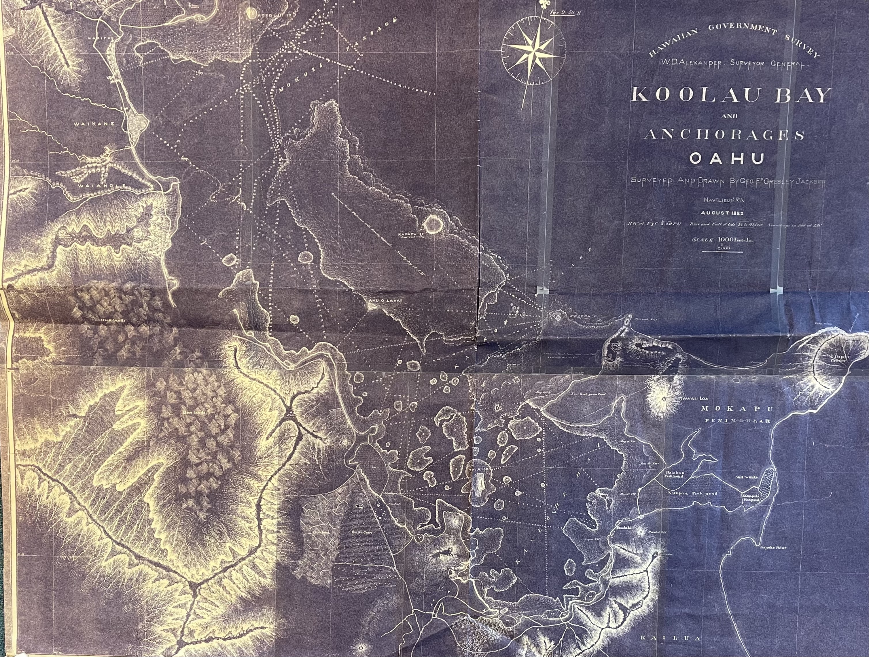
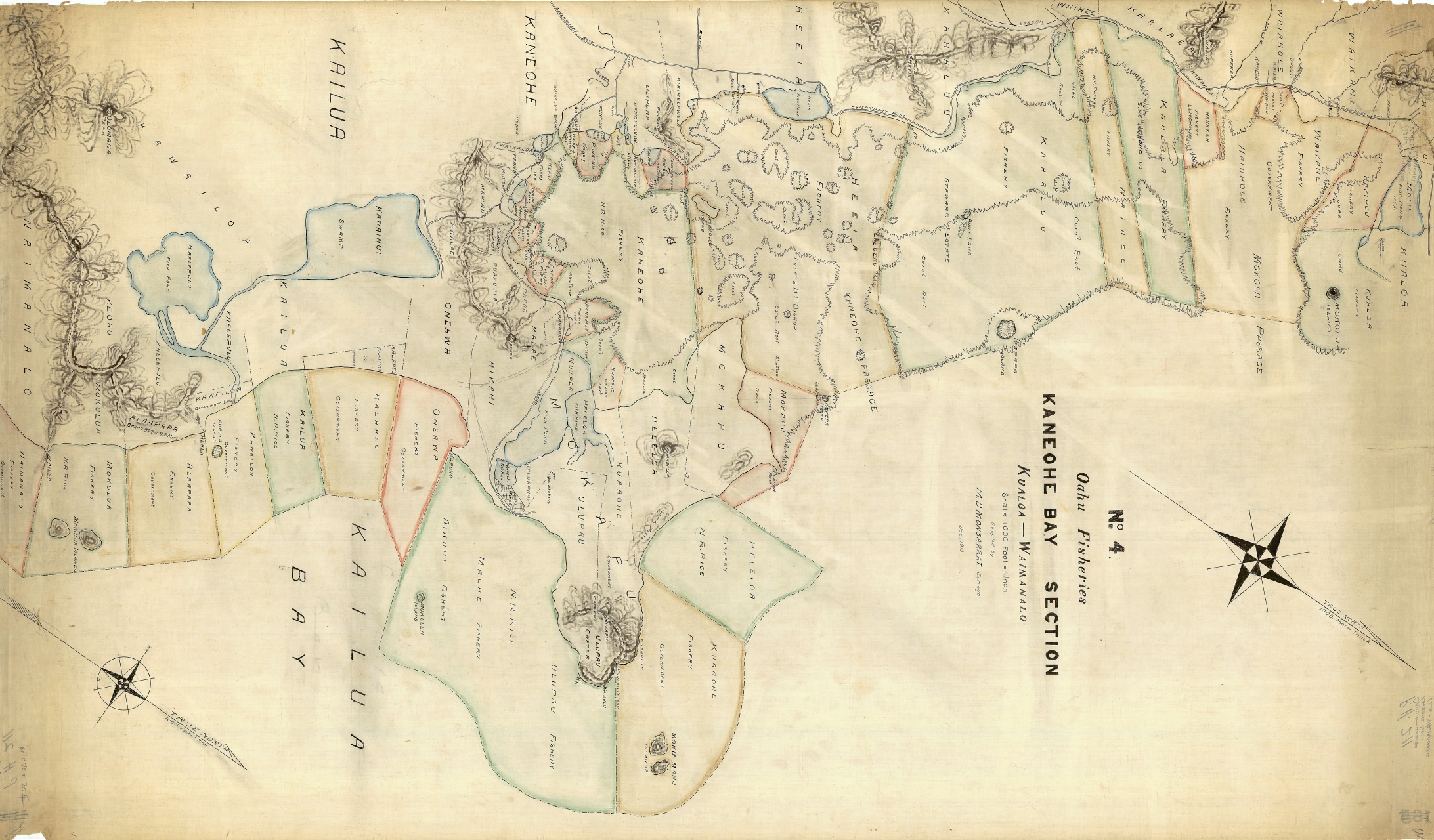
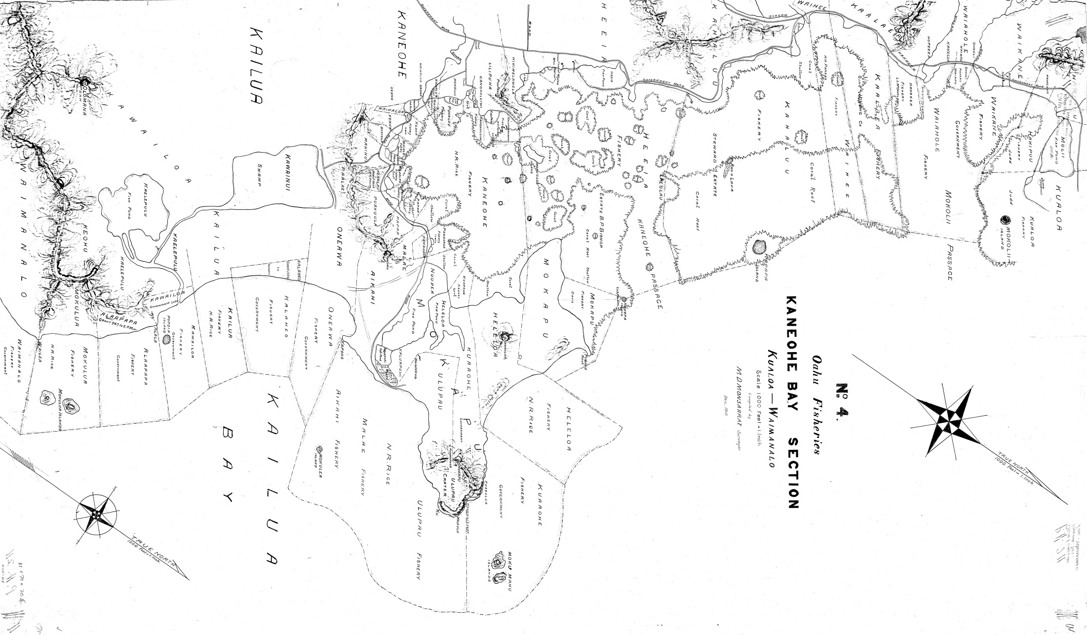
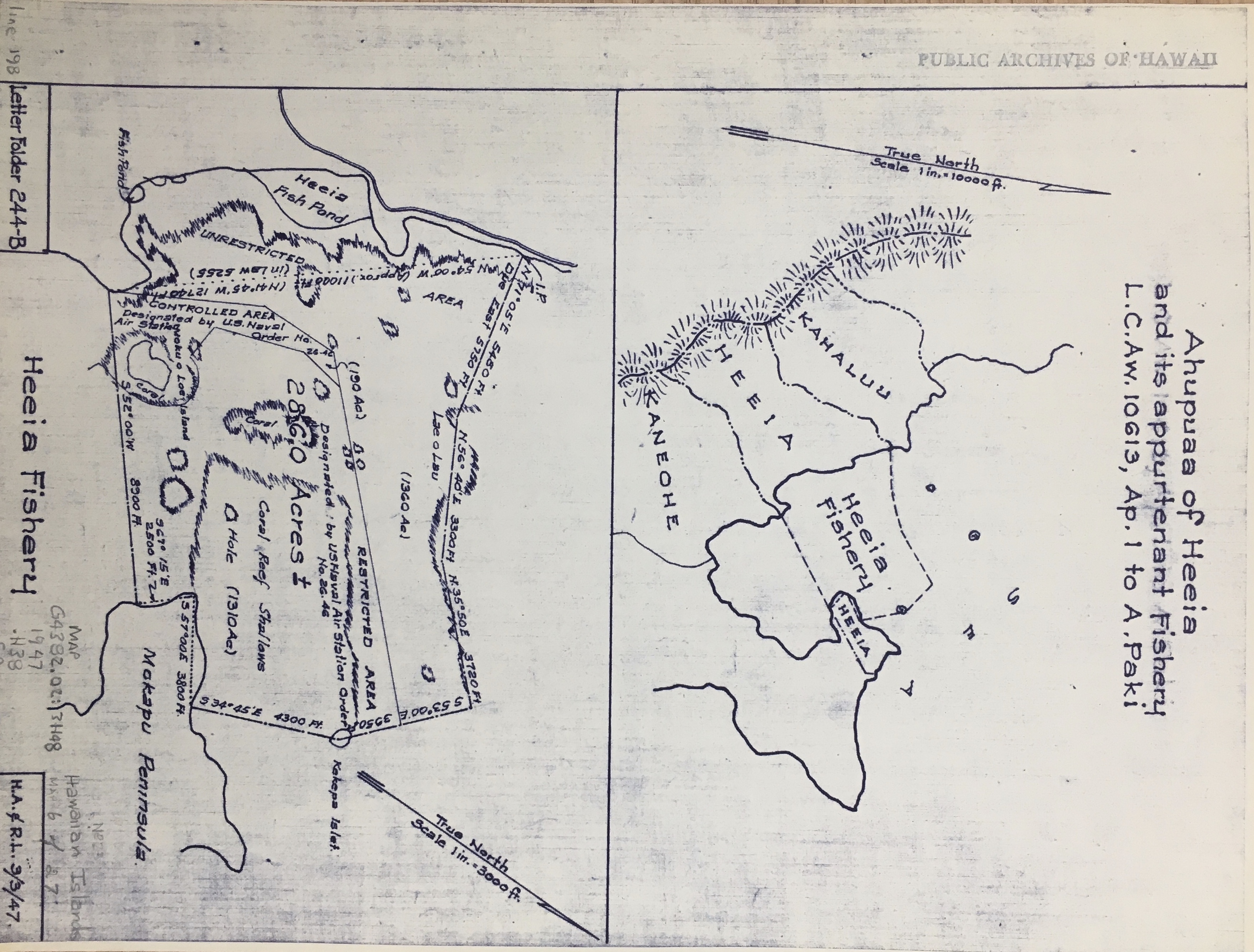
Figure 5: Oahu Fisheries, Kāneʻohe Bay Section (M.D. Monsarrat, 1913); showing survey alignment of Heʻeia Fishery. Credit: Hawaiʻi Government Survey Maps, Reg. Map No. 2848, No.4 , 2022.
Timeline of Land and Water Management in Heʻeia, Oʻahu
Expand each section of the timeline to explore historic photos and documents related to the history of Heʻeia
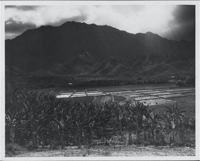
Indigenous Management (1200s - 1800s)
Privatization and Overthrow of Hawaiian Kingdom (1848 - 1910s)
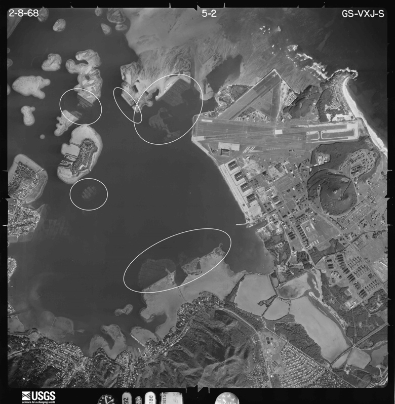
Militarization, Statehood, and Urban Development (1920s - 1960s)
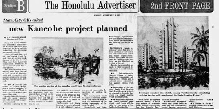
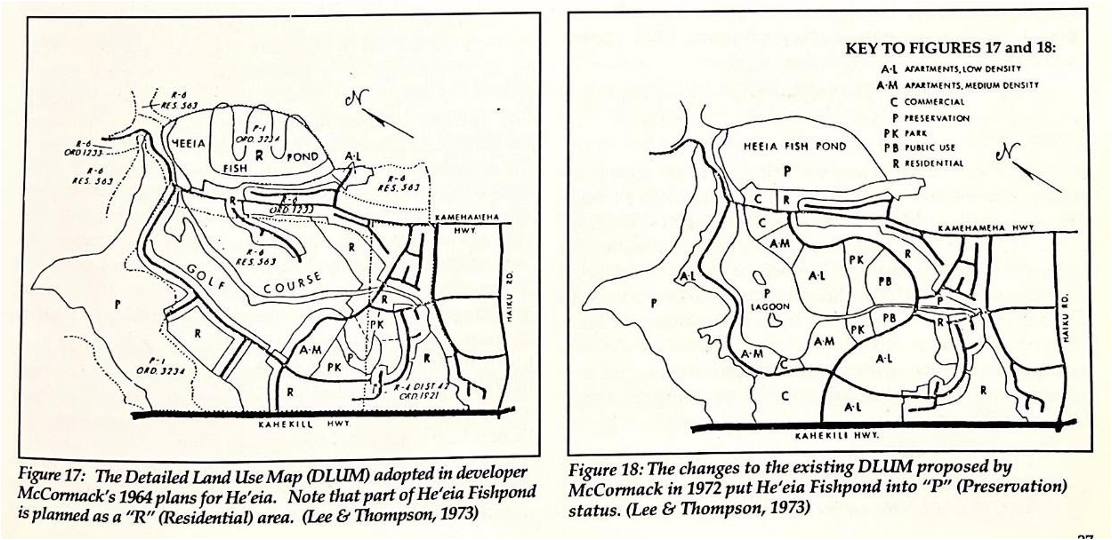
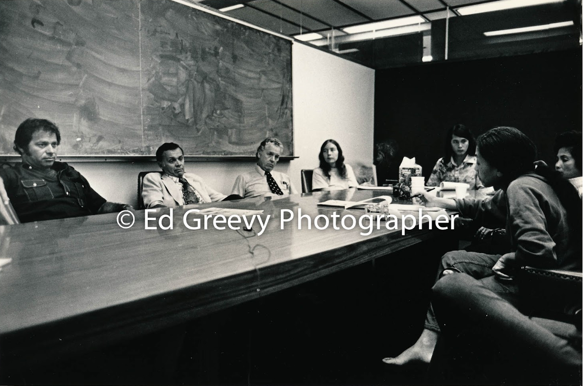
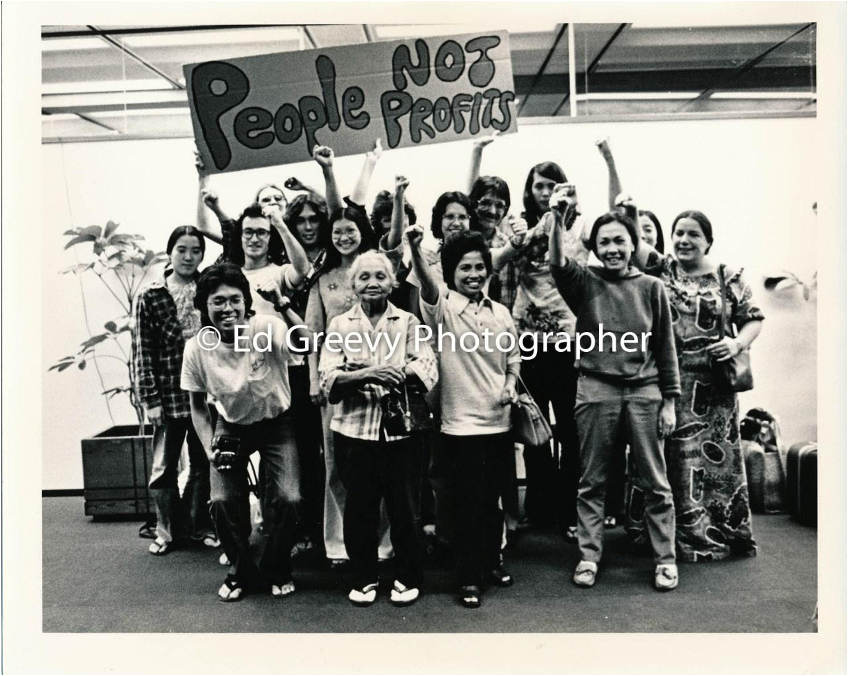
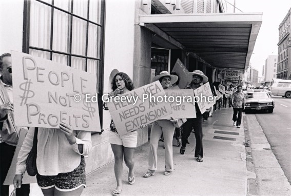
Protection: Kūpaʻa Heʻeia (1970s - 1990s)
Restoration (2000s - Present)
II. Restoration Efforts in the Reserve
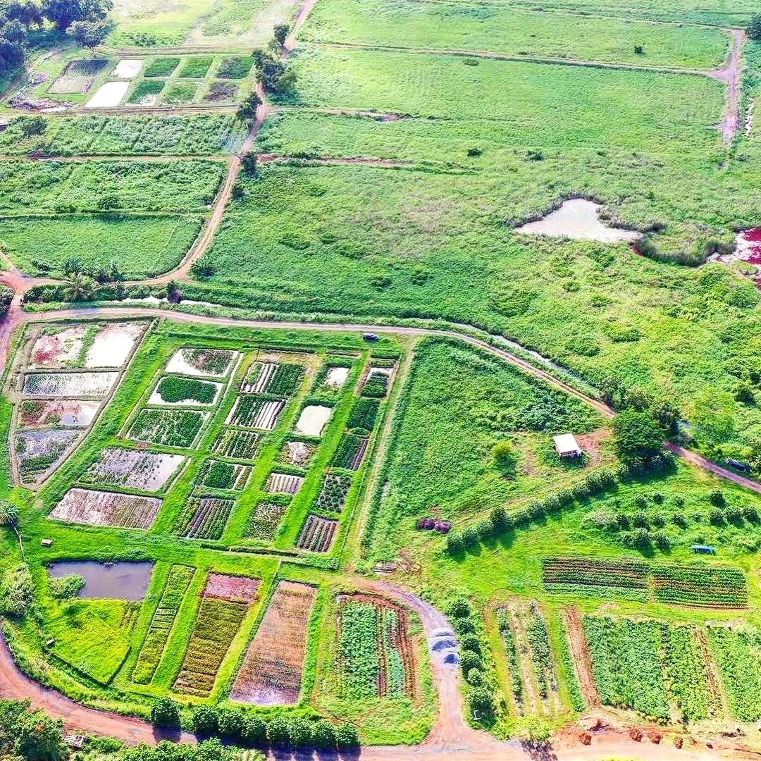
Restoration efforts focus on components of the ahupuaʻa system such as loʻi and loko iʻa and the connections between them.
III. Land and Water Stewardship and Conservation Activities
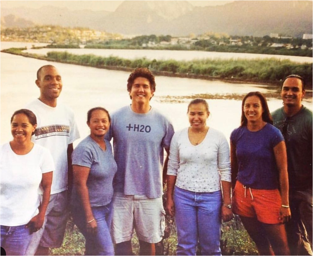
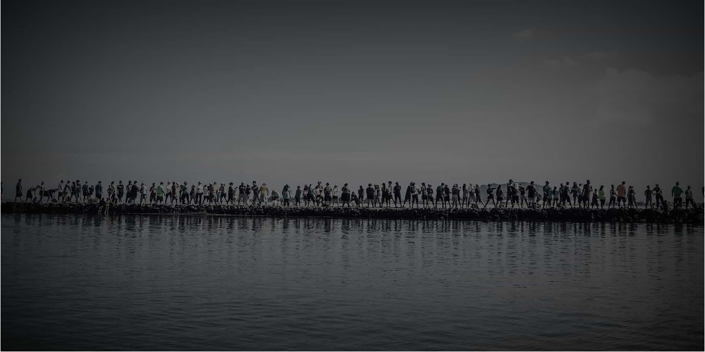
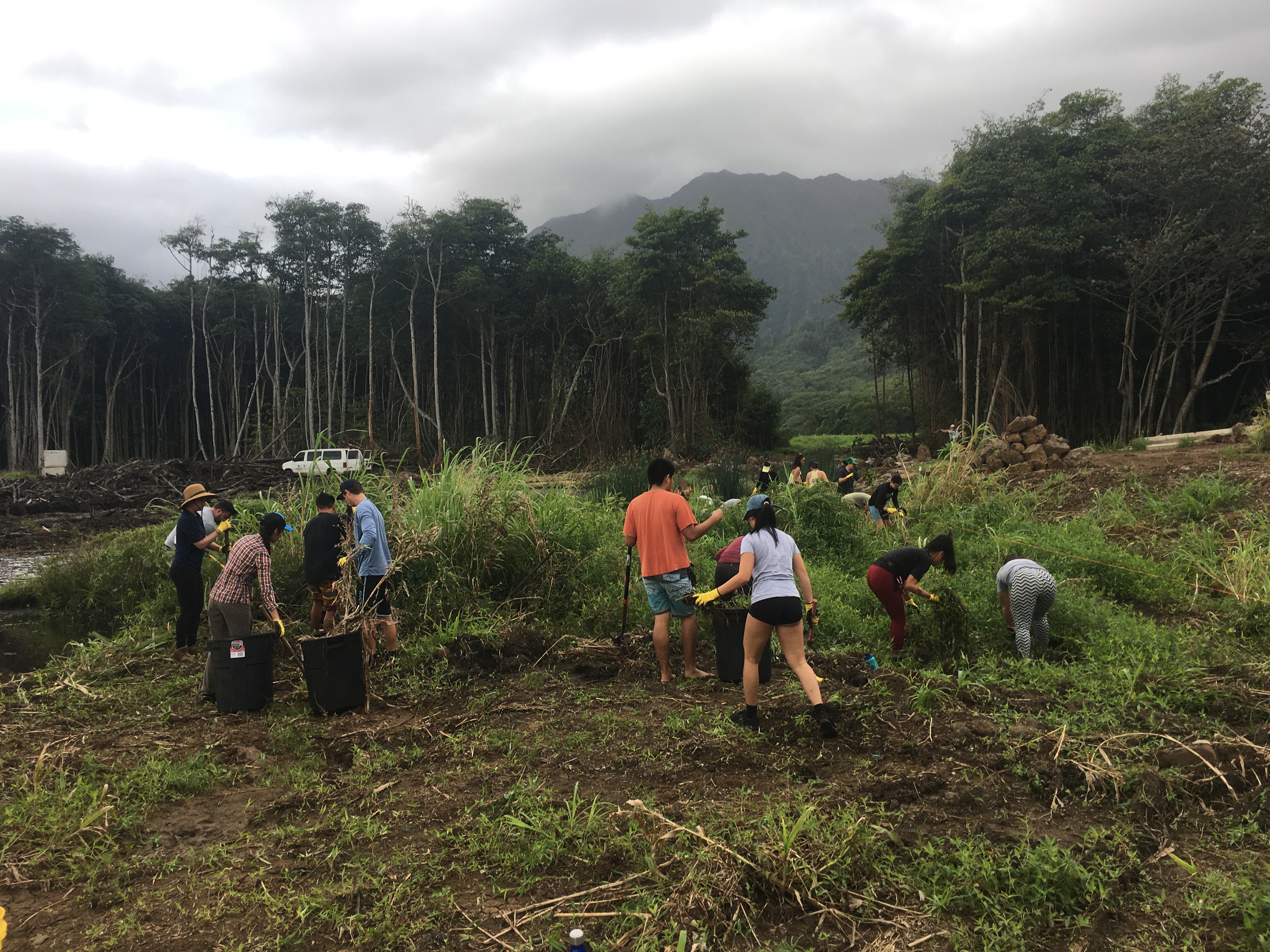
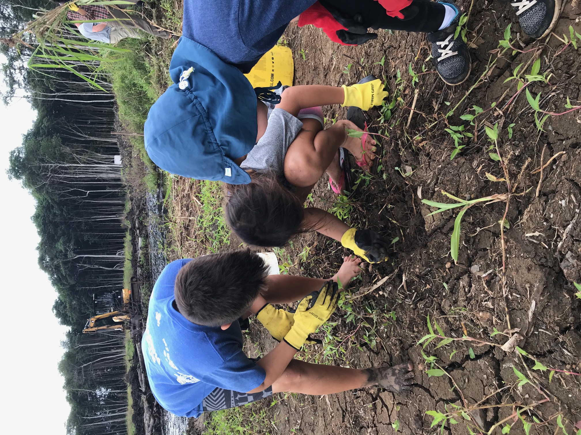
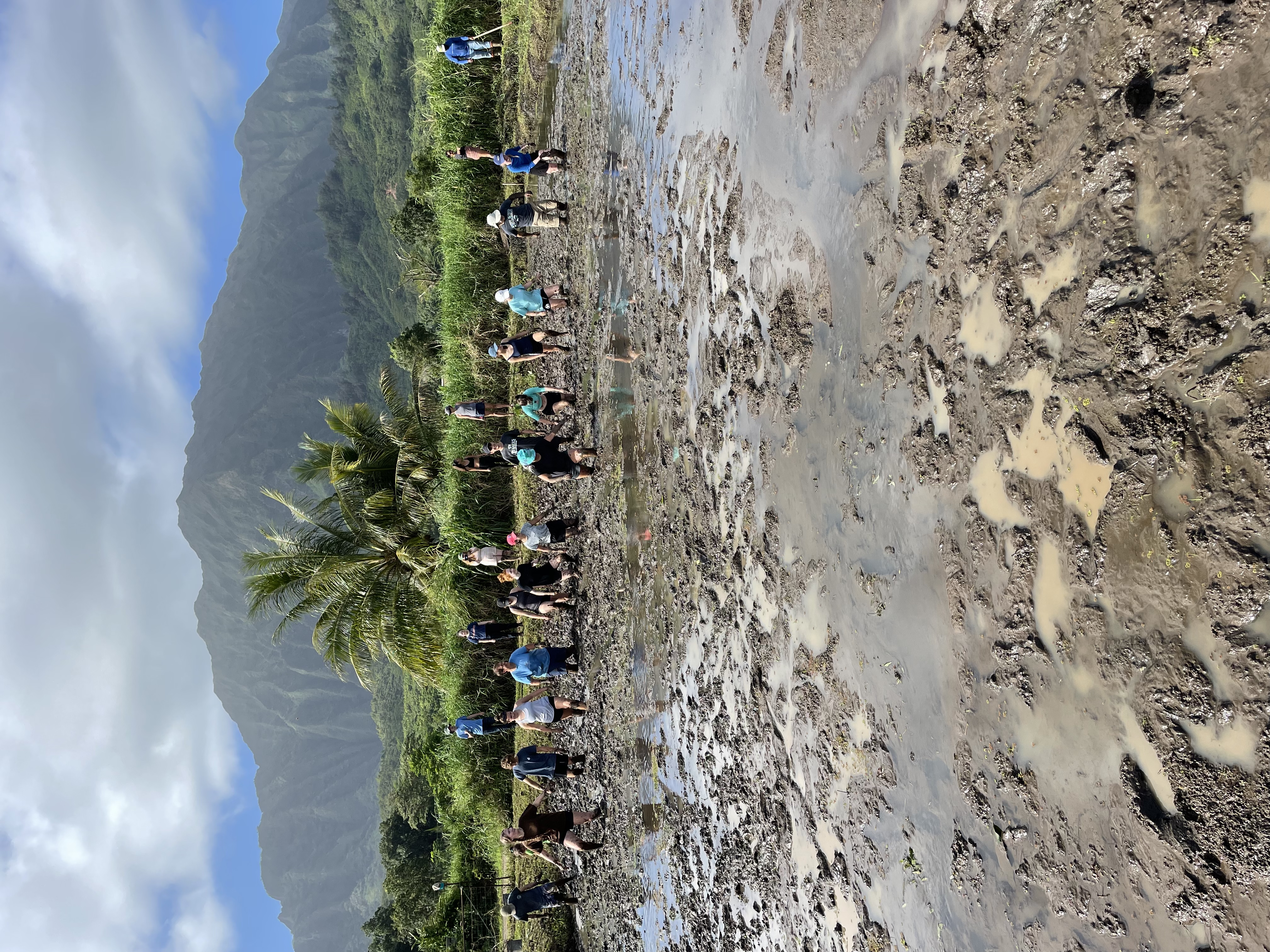
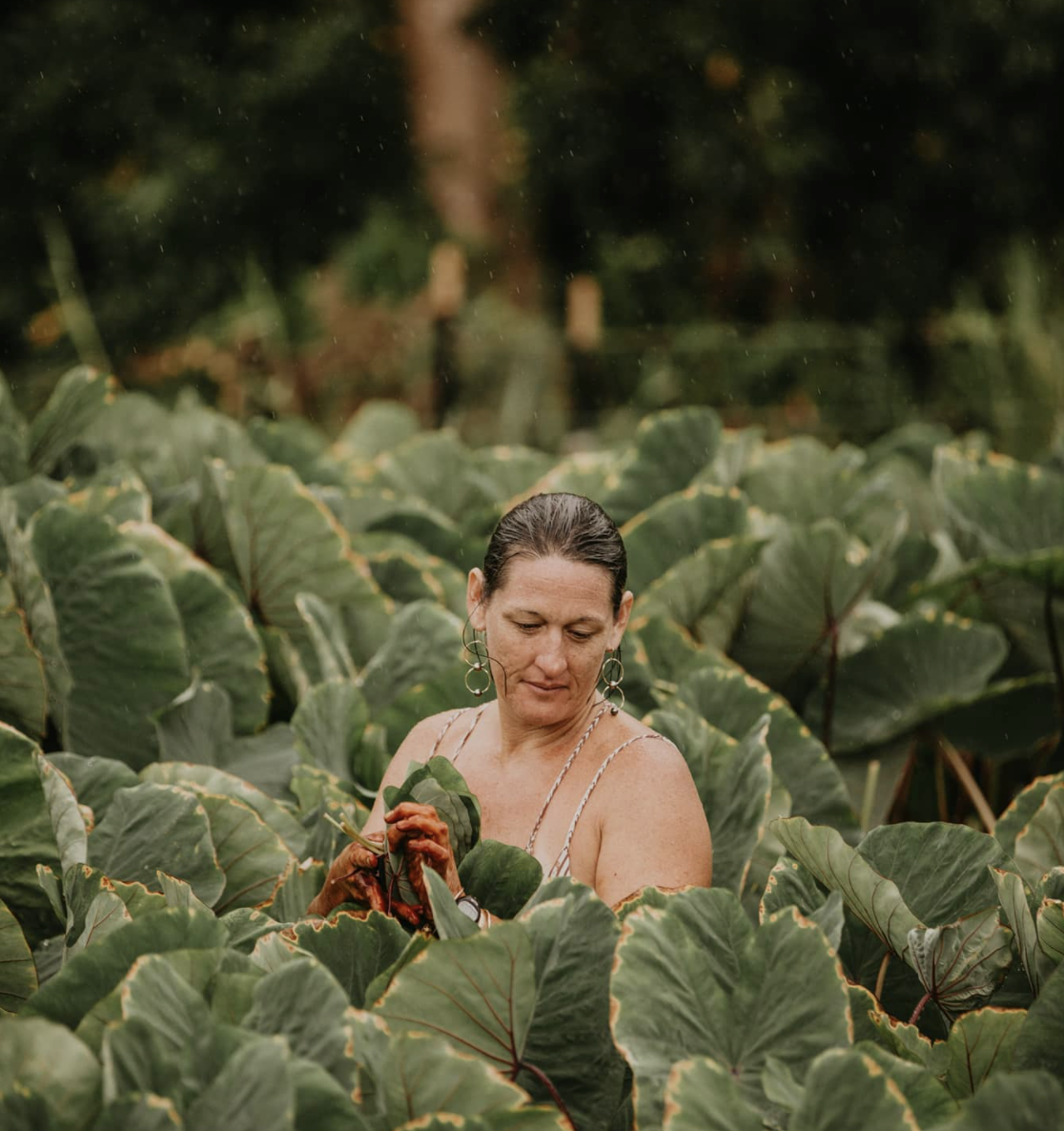
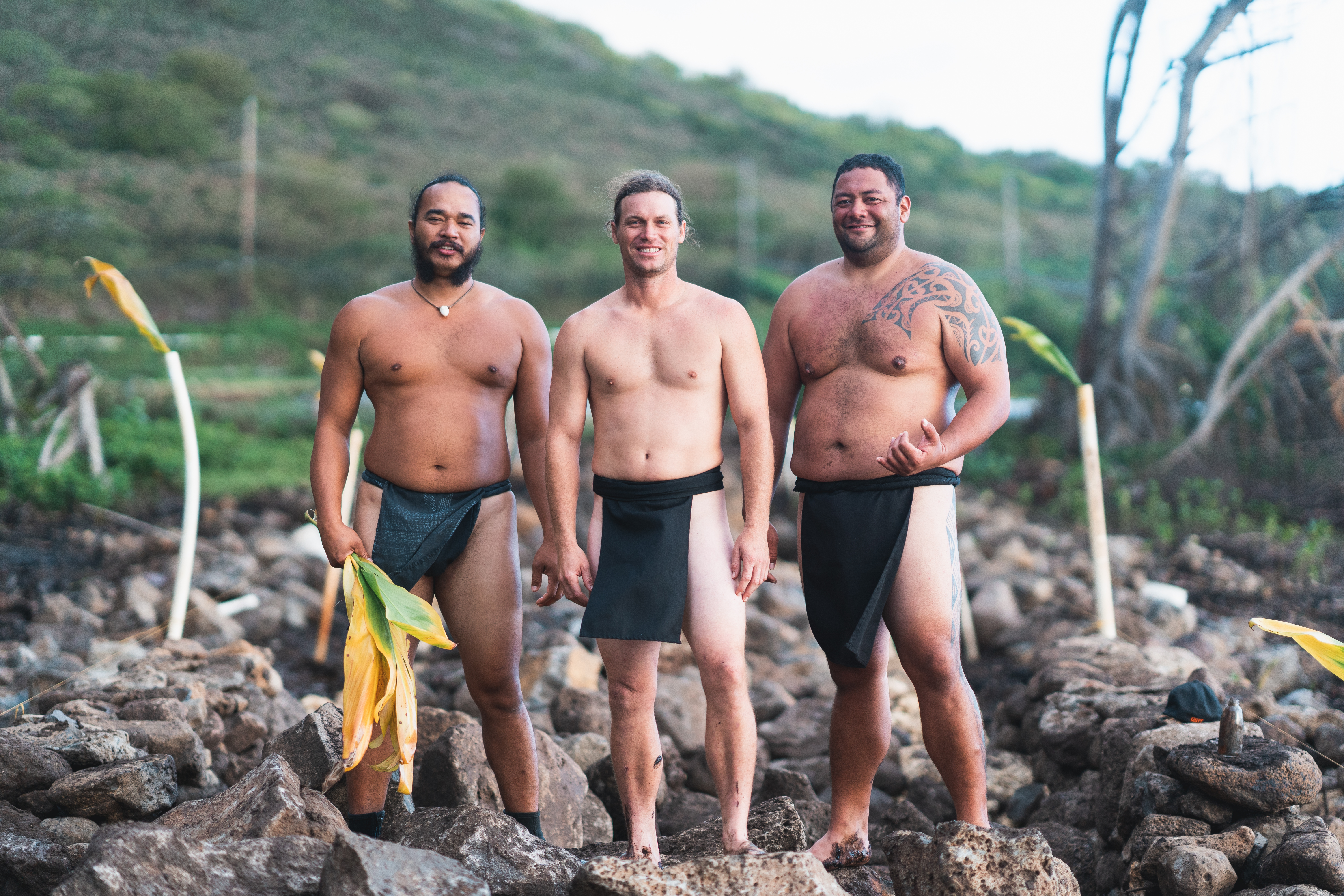
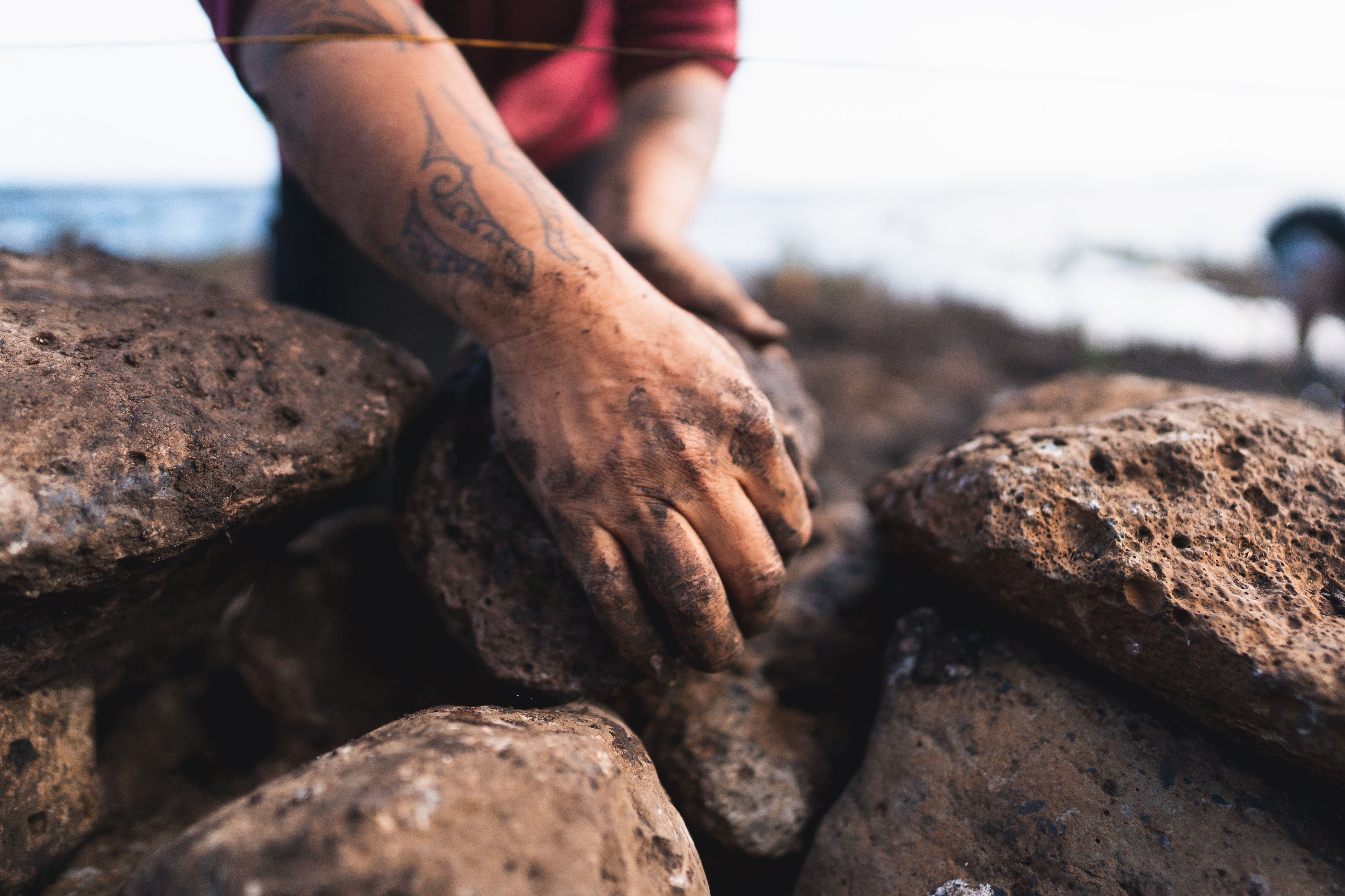
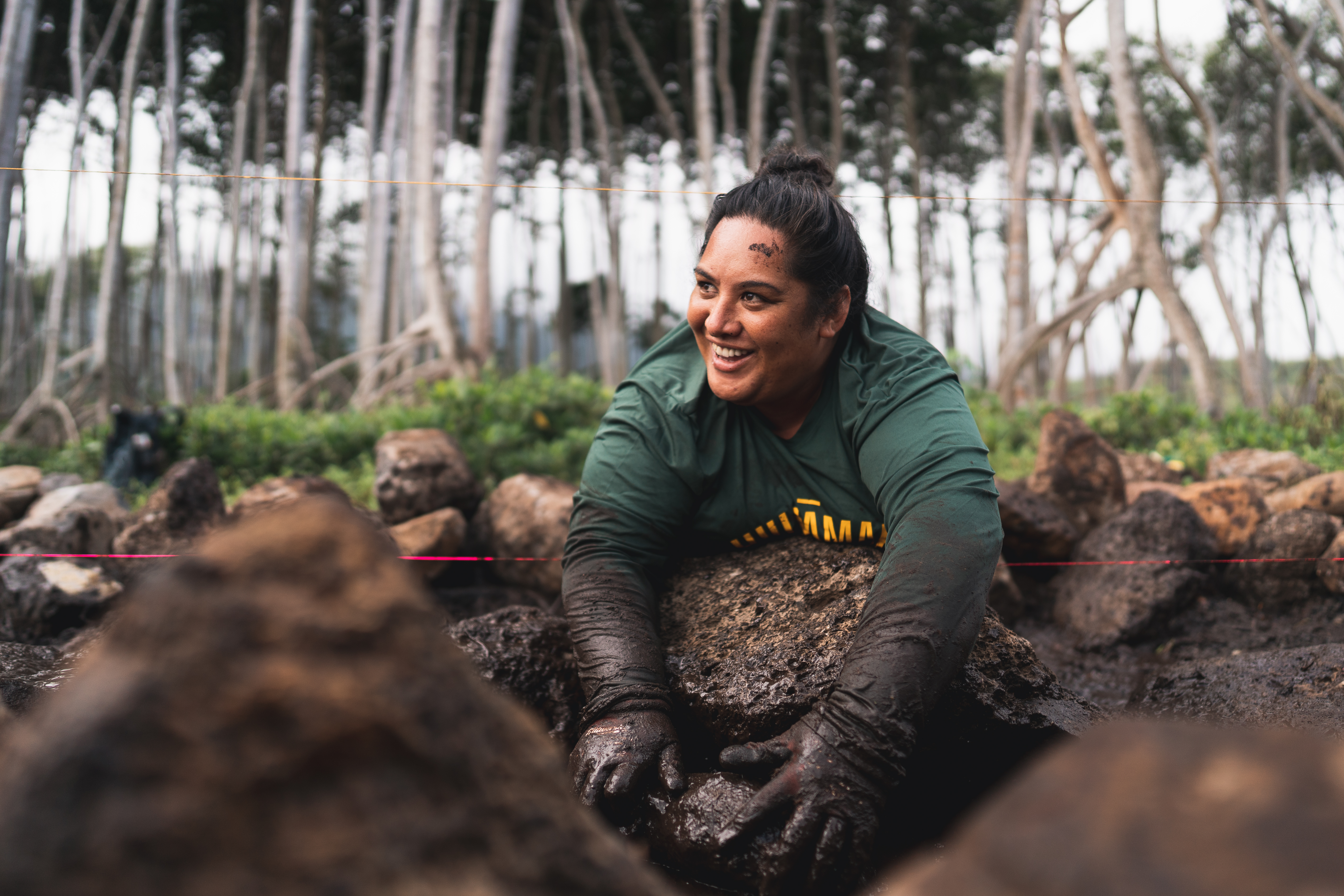
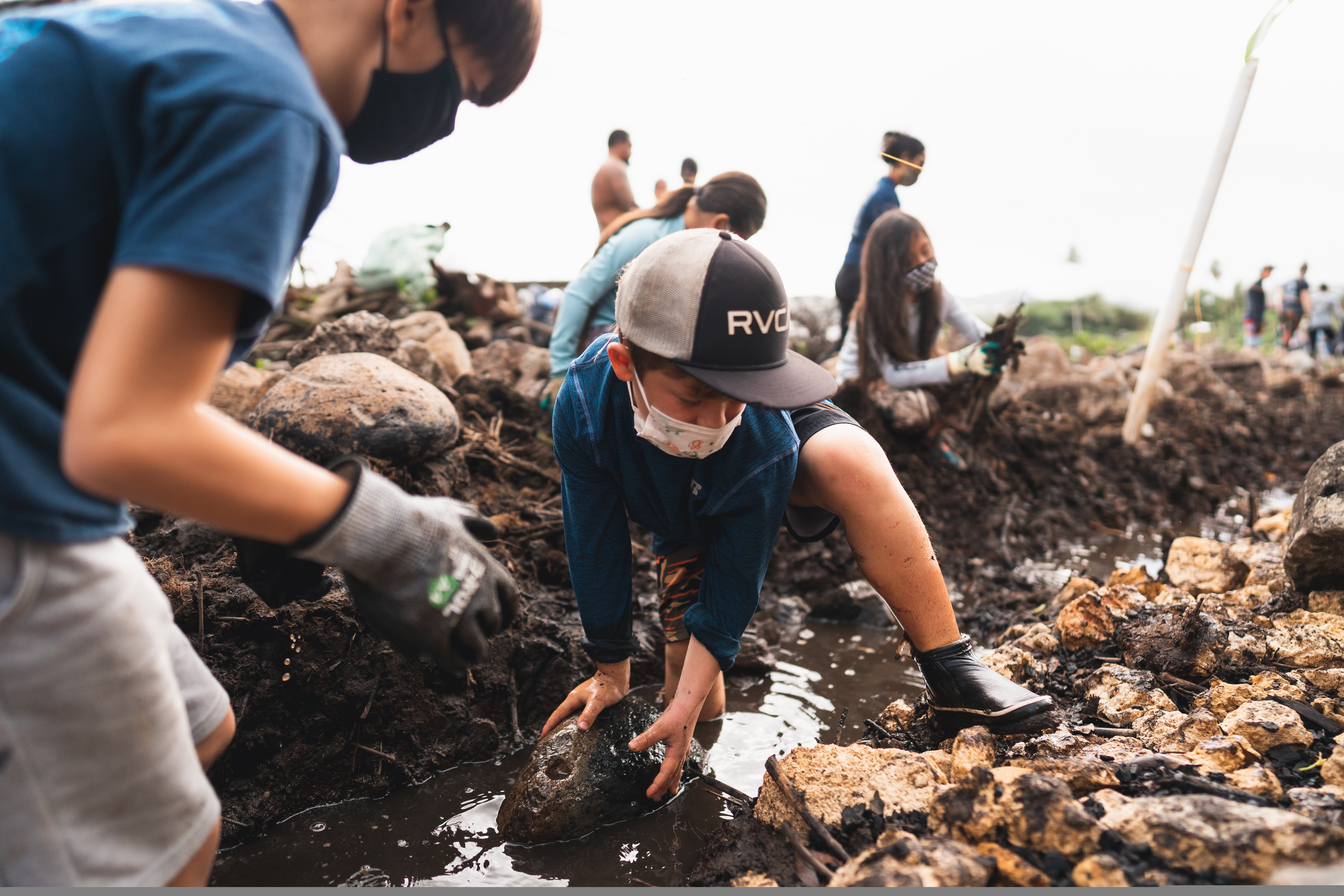
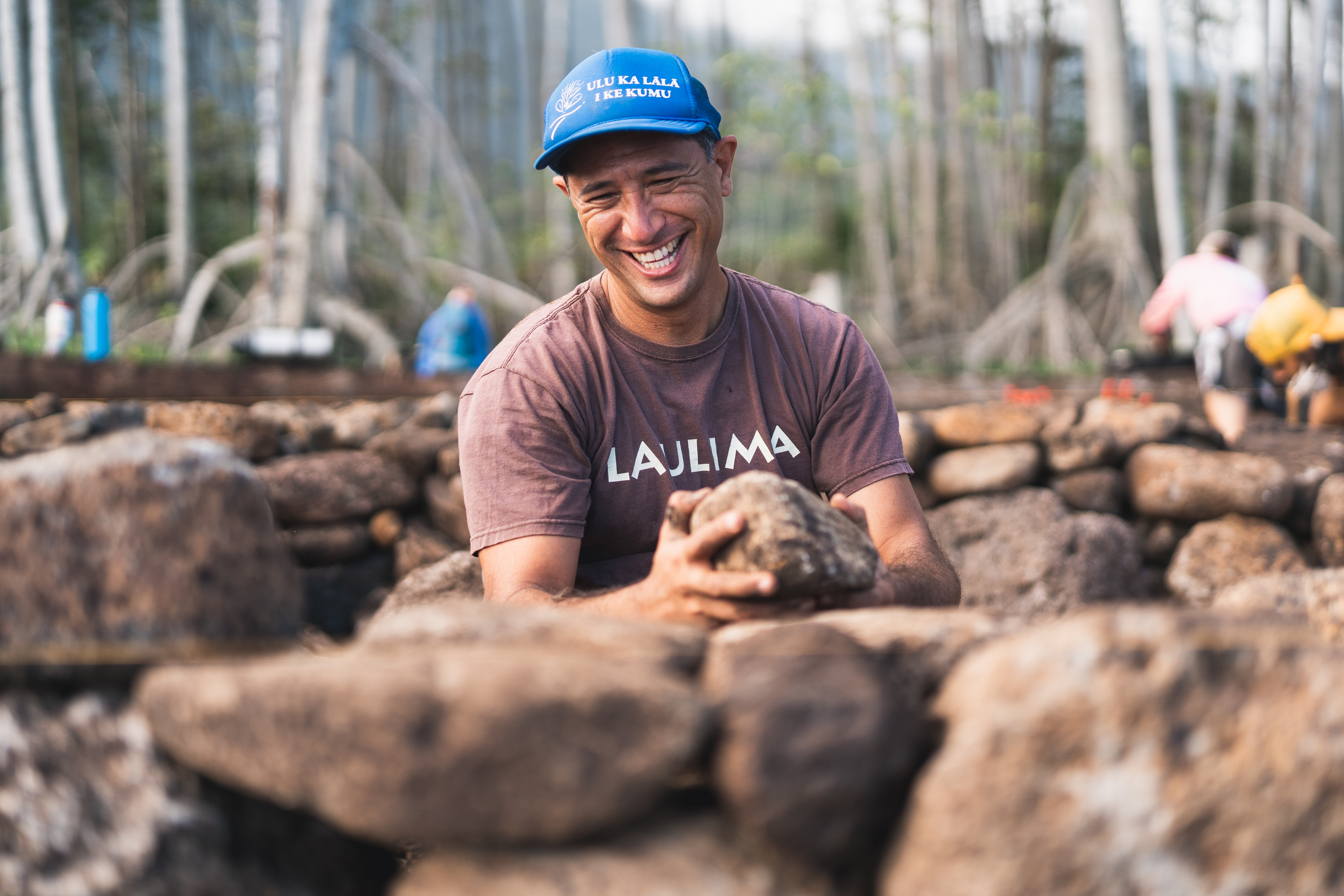
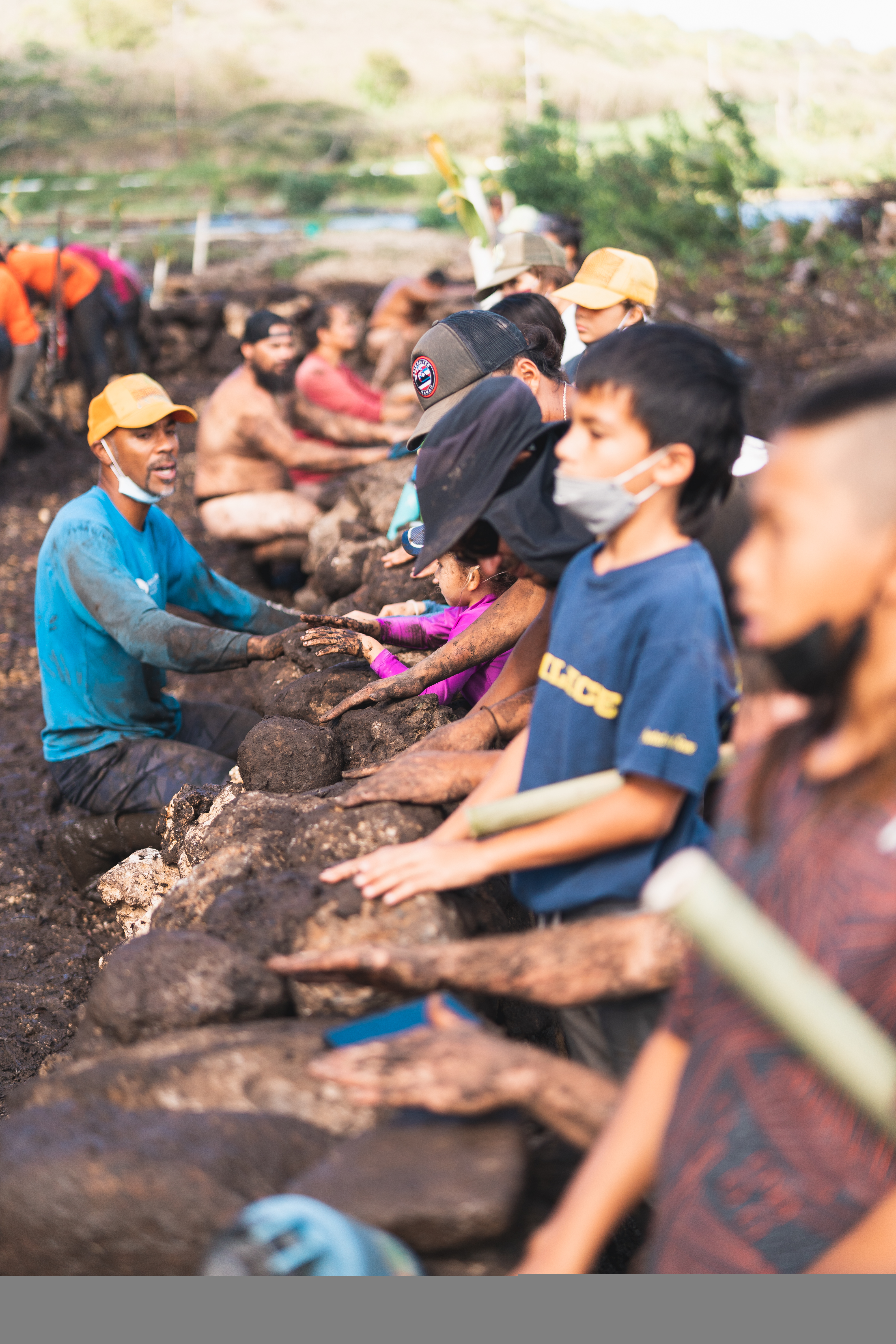
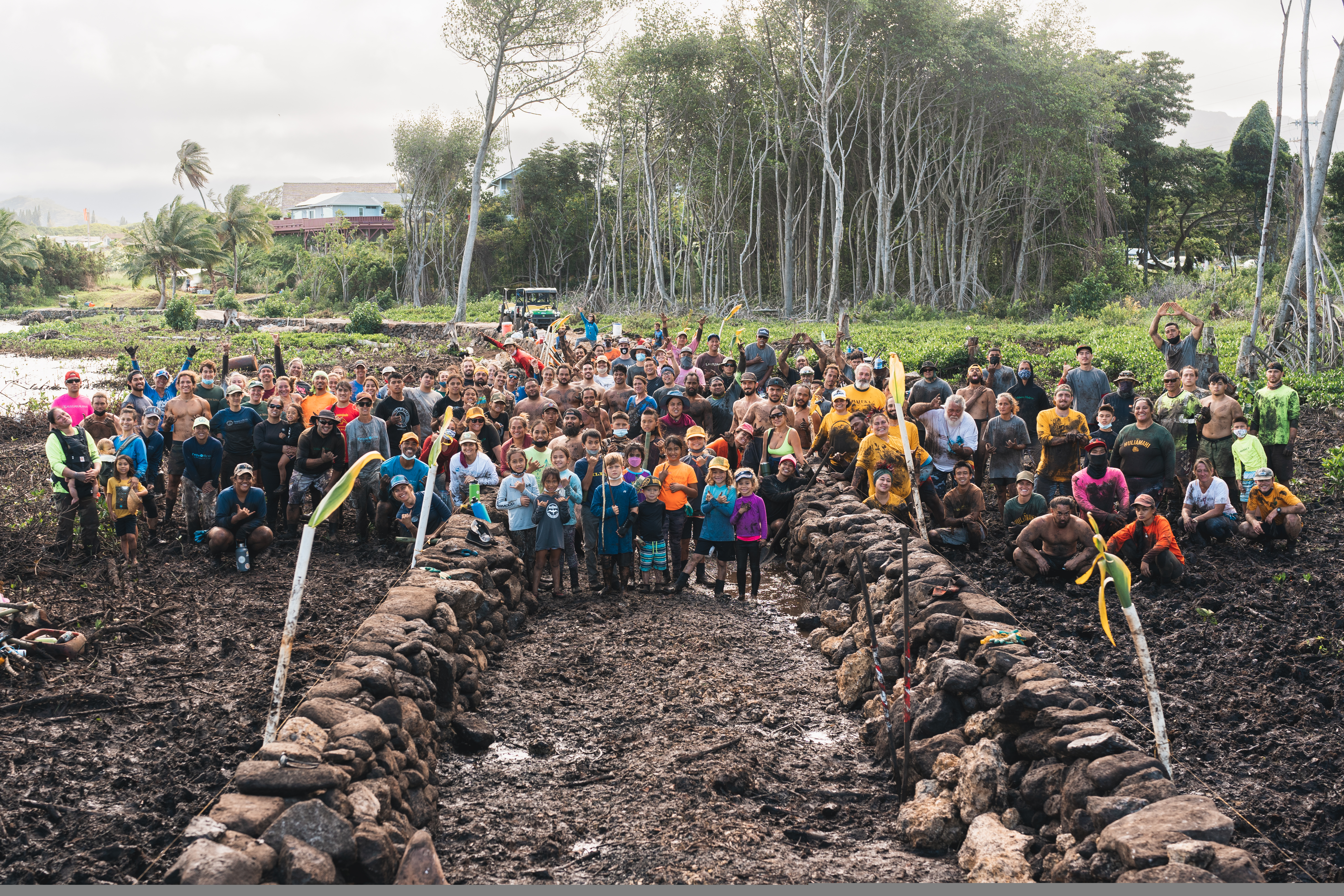
Stewardship in Heʻeia is accomplished through laulima, or ‘many hands’. Throughout the years, thousands of volunteers have worked in Heʻeia to help remove invasive vegetation, outplant native species, and rebuild loʻi systems and fishpond walls.
Scroll through the images below and click for a larger view:
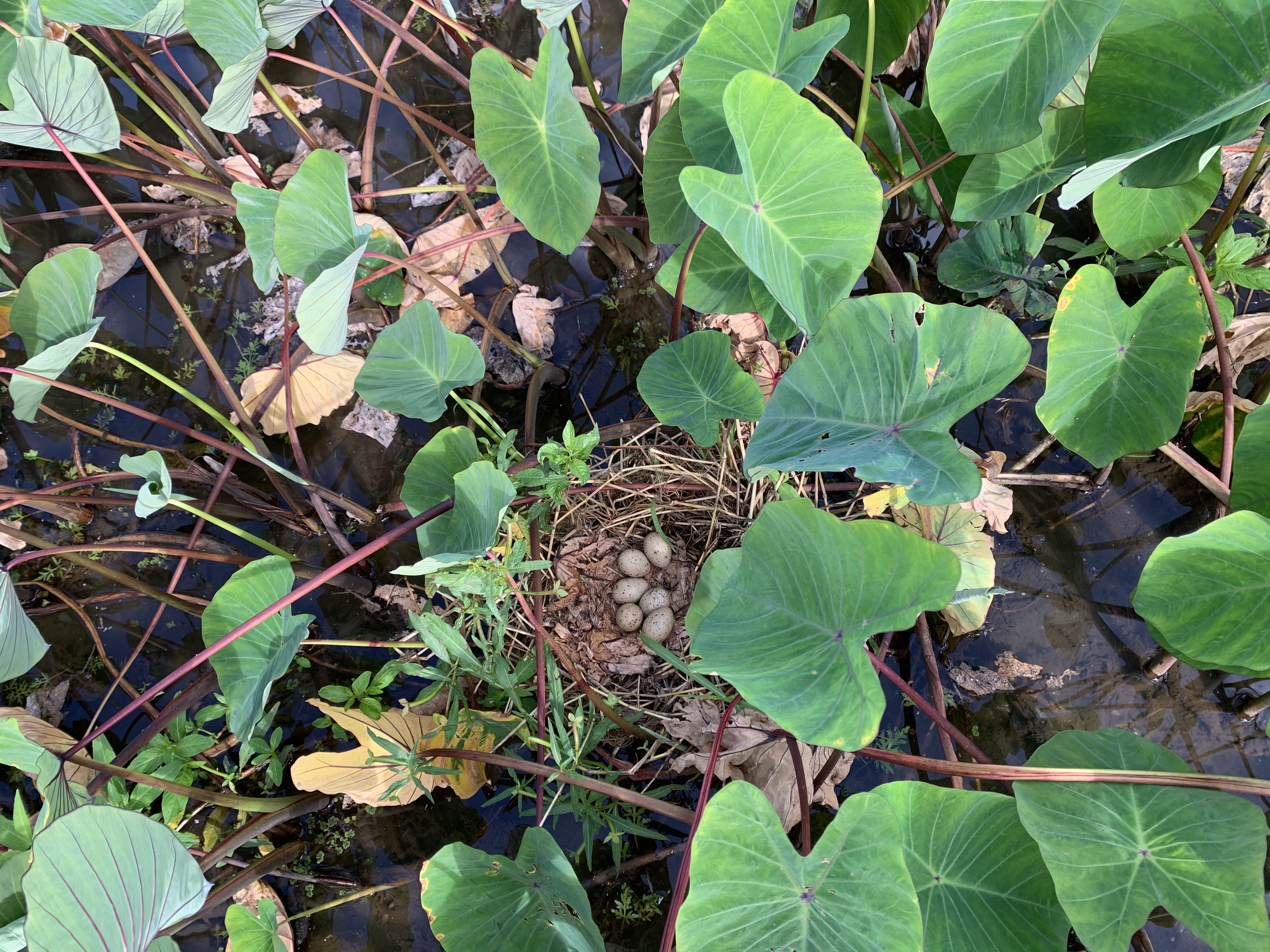

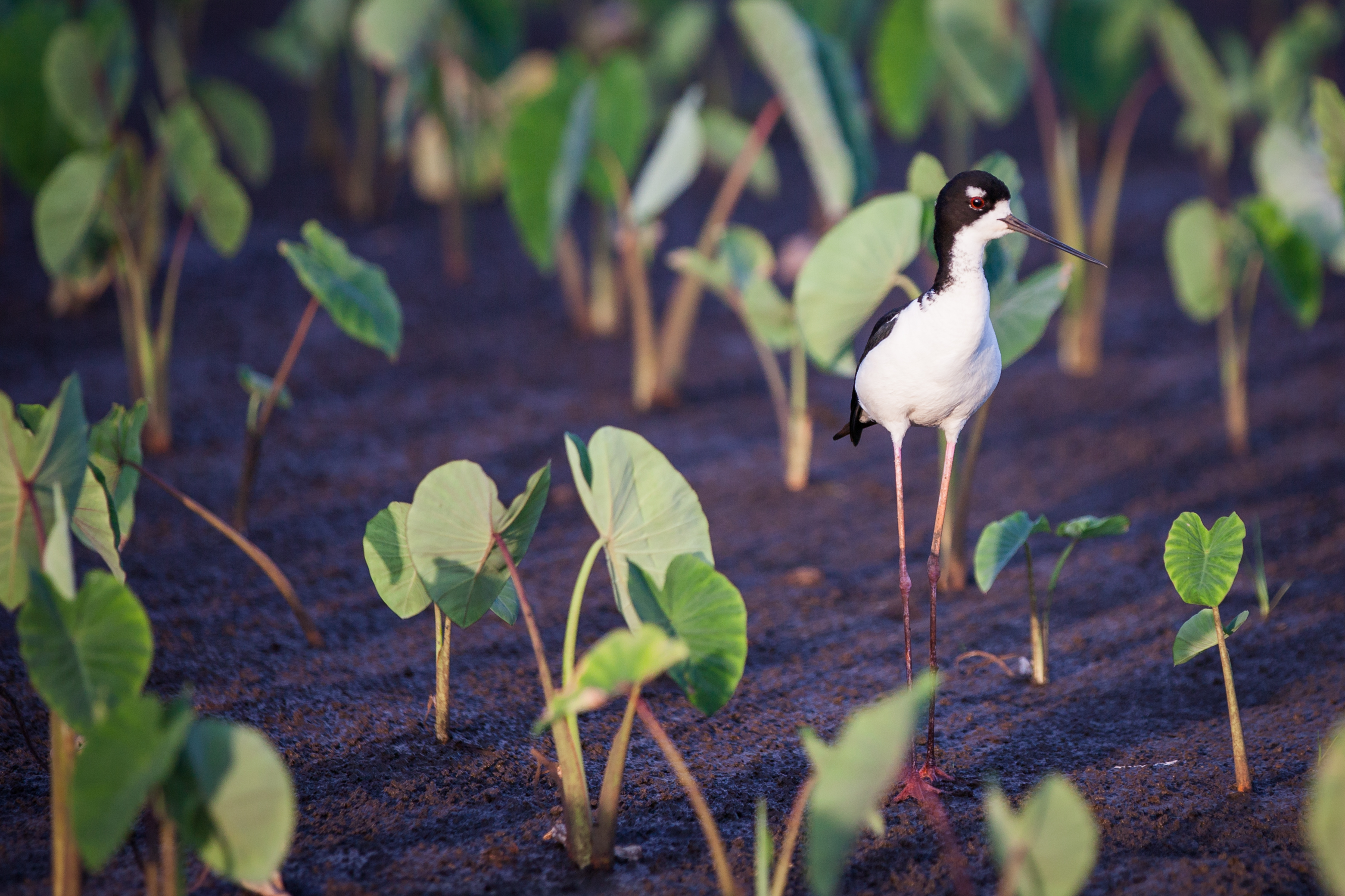
Kiaʻi in Heʻeia, or land protectors and guardians, have engaged in the Native Hawaiian practice of kilo, or in depth observation, for biological species that are indicative of changes in the environment. These bioindicators include various native species including fish, birds, and other fauna. Students working with the kiaʻi at Paepae o Heʻeia and Kākoʻo ʻŌiwi, as well as with Heʻeia NERR, are examining the relationships of native waterbirds and shorebirds with the restored habitat, with the aim for habitat restoration promoting bird conservation. More is described in other sections of this Site Profile.
RESERVE RESILIENCE
I. Coastal Adaptations and Living Shorelines
Within Heʻeia NERR, various restoration and research projects are aimed at addressing how to adaptively manage in the face of climate change, including sea level rise and extreme storm conditions. Specifically, efforts are underway to examine the impact of king tides on fish communities within the Heʻeia estuary as a proxy for future sea level rise, and our goal is to assess the results of the project to adapt restoration strategies within the Heʻeia wetland. Below are additional projects focused specifically on Moku o Loʻe, where crumbling sea walls and erosion are impending issues impacting the island.
Restoration of shorelines in Moku o Loʻe
To prevent erosion of shorelines on Moku o Loʻe by the threat of rising sea levels, efforts are ongoing to remove and replace invasive vegetation (specifically mangroves) with native species to combat erosion. Consistent efforts to remove mangrove along the shoreline commenced in 2021 and researchers at HIMB are monitoring the effects of mangrove removal on water quality and fish communities. This project is ongoing and details will be updated as we acquire new information.
Additional projects are ongoing to examine the baseline environmental and biological parameters in a location on Moku o Loʻe prior to installing an erosion control structure (Econcrete, hybrid reef structure). This project is conducted in collaboration with engineers and coral reef researchers, to explore a test bed for erosion control materials towards coastal resilience on Moku o Loʻe.
II. Circular Economies Related to Reserve Focus and Mission
The Reserve is committed to engaging with co-management partners to build a circular economy that centers local community needs, interests, and values. The goals of a circular economy for the Koʻolaupoko moku include:
The map below shows areas within the Heʻeia Reserve where shoreline restoration activities are being conducted. Click on the features below for additional information on specific restoration projects.
Māhuahua ʻAi o Hoi
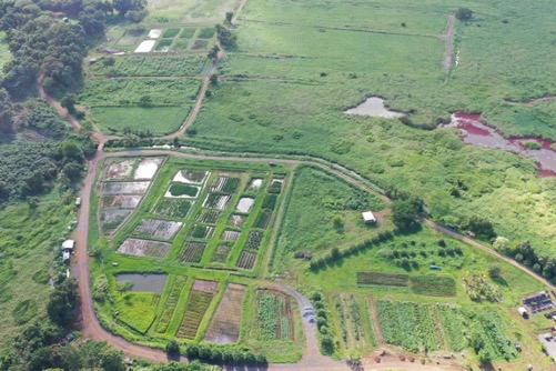
Māhuahua ʻAi o Hoi (Regrowing the Fruit of Hoi) is a community-driven vision for restoring agricultural and ecological productivity to the 405-acre area “Hoi” situated in the Heʻeia wetlands. Kākoʻo ʻŌiwi is the non-profit organization dedicated to implementing this vision, to increase food and resource production and to use Kākoʻo ʻŌiwi as a shared resource for families and community engagement and for an educational tool representing cultural practice, sustainable agriculture, and food security. Since 2010, Kākoʻo ʻŌiwi has restored 6 acres of loʻi kalo and 20 acres for dryland diversified agriculture. A new poi mill, kitchen, and community gathering space was built in 2021, with products being sold weekly.


Hāpai Pū
The Hāpai Pū Apprenticeship Program is an 11-month program to develop capacity through individuals in the area of ahupuaʻa management techniques. Participants in the program rotate between three different ʻāina-based organizations within Koʻolaupoko and receive training in the areas of wetland stewardship, kalo farming, and value added food production as well as ʻāina (land), kai (ocean), and loko iʻa (fishpond) restoration and conservation through ecosystem management.
Nā ʻOno o ka ʻĀina
This seven-week program was piloted in the summer of 2020 when the COVID-19 pandemic had reduced the hours of many of Hawaiʻi’s restaurant workers. The course, taught on zoom, offered a stipend to participants to mitigate the impact of the layoffs, while building participants’ skills for future employment in a more localized food industry. Stewards from the Heʻeia ahupuaʻa shared their knowledge of Indigenous foods, including history, cultural practices, cultivation, and methods for preparing and preserving. Course participants picked up the ingredient of the week (grown and harvested in Heʻeia) and worked on their own to develop recipes using the featured ingredient.
III. Disaster Preparedness
In Heʻeia NERR, we are evaluating efforts to adaptively manage our restoration projects to prepare for disasters, such as flood mitigation within our wetlands, and to work with various state agencies to manage flooding and contaminants within the ahupuaʻa as well as to coastal waters. In particular, the Enterprise Watershed Restoration Program Mission with USDA Forest Service conducted hydraulic modeling (Report - citation) for storm scenarios and the use of loʻi as sediment detention ponds, connecting cultural vitality and restoration with flood mitigation.
Additional Resources
Click on the link to be taken to the Heʻeia National Estuarine Research Reserve Youtube Channel
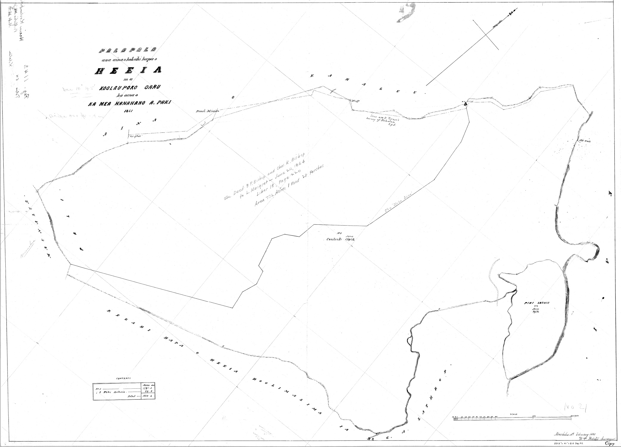
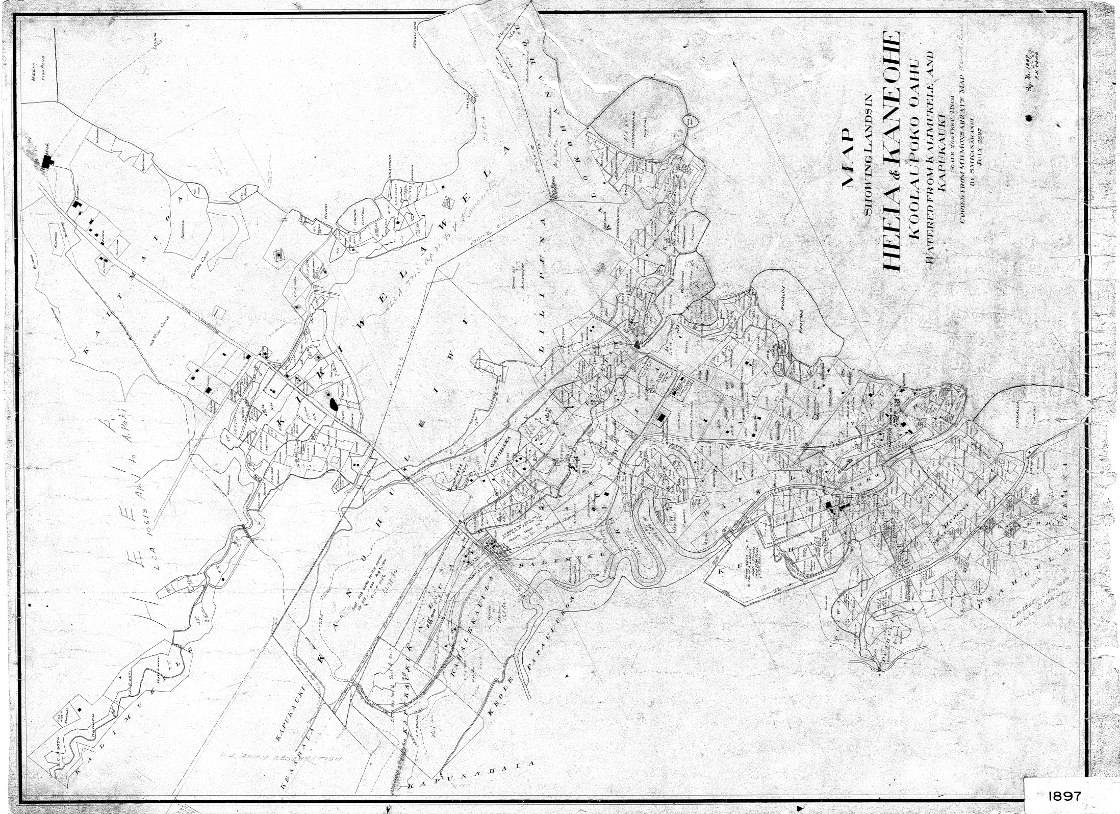
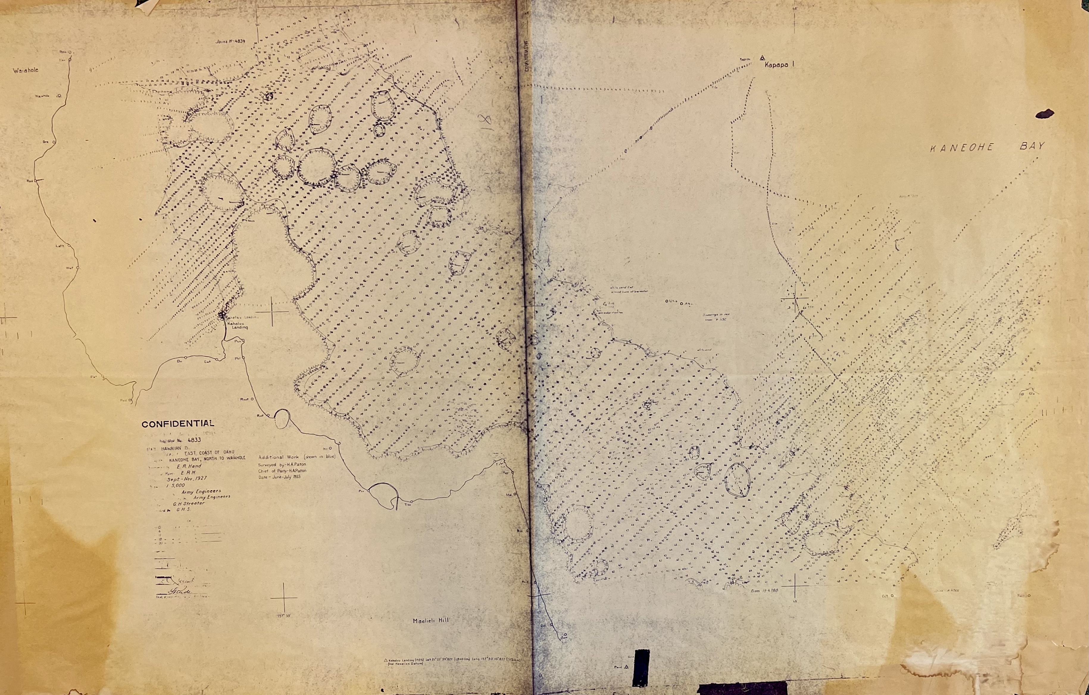
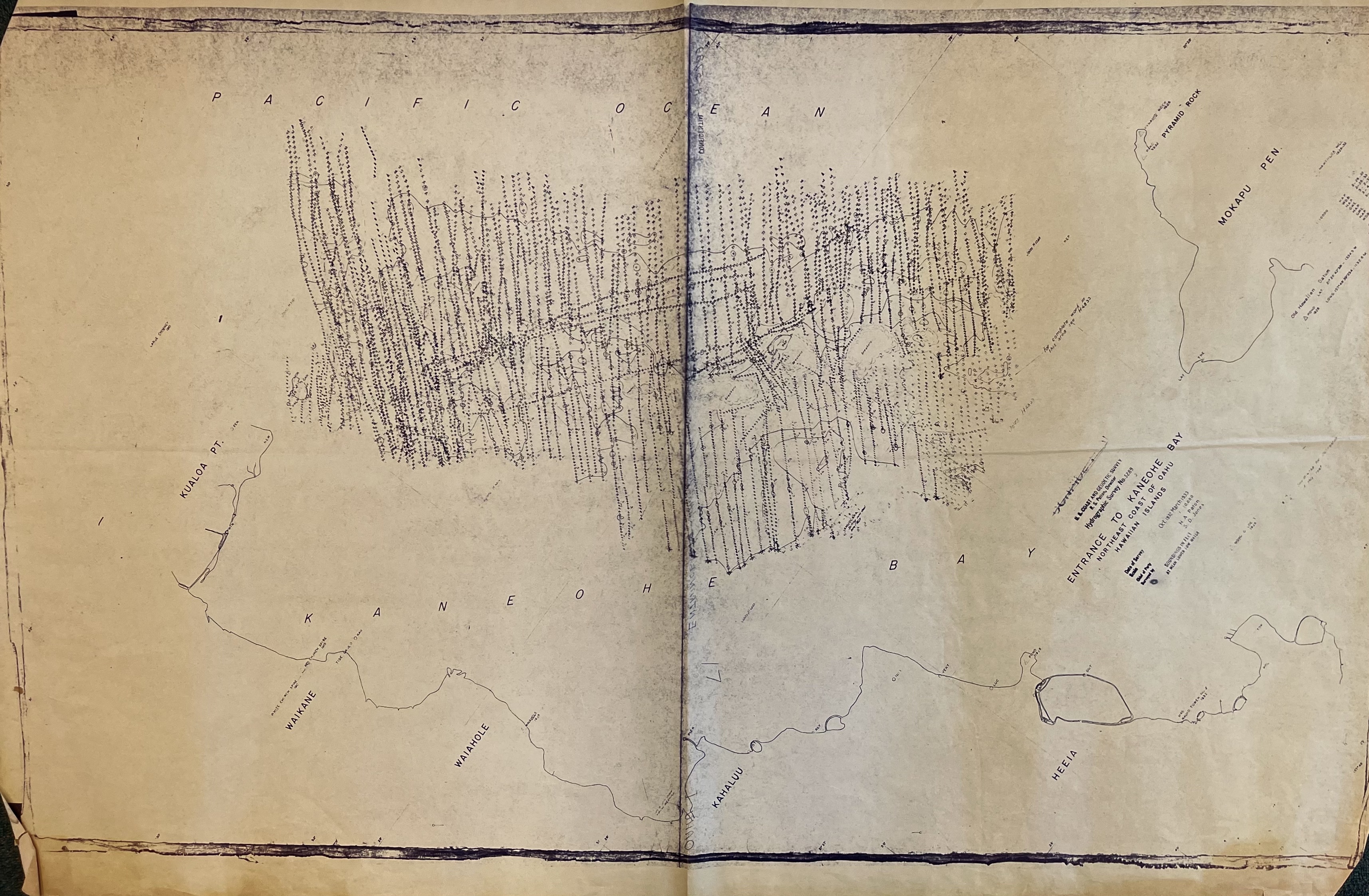
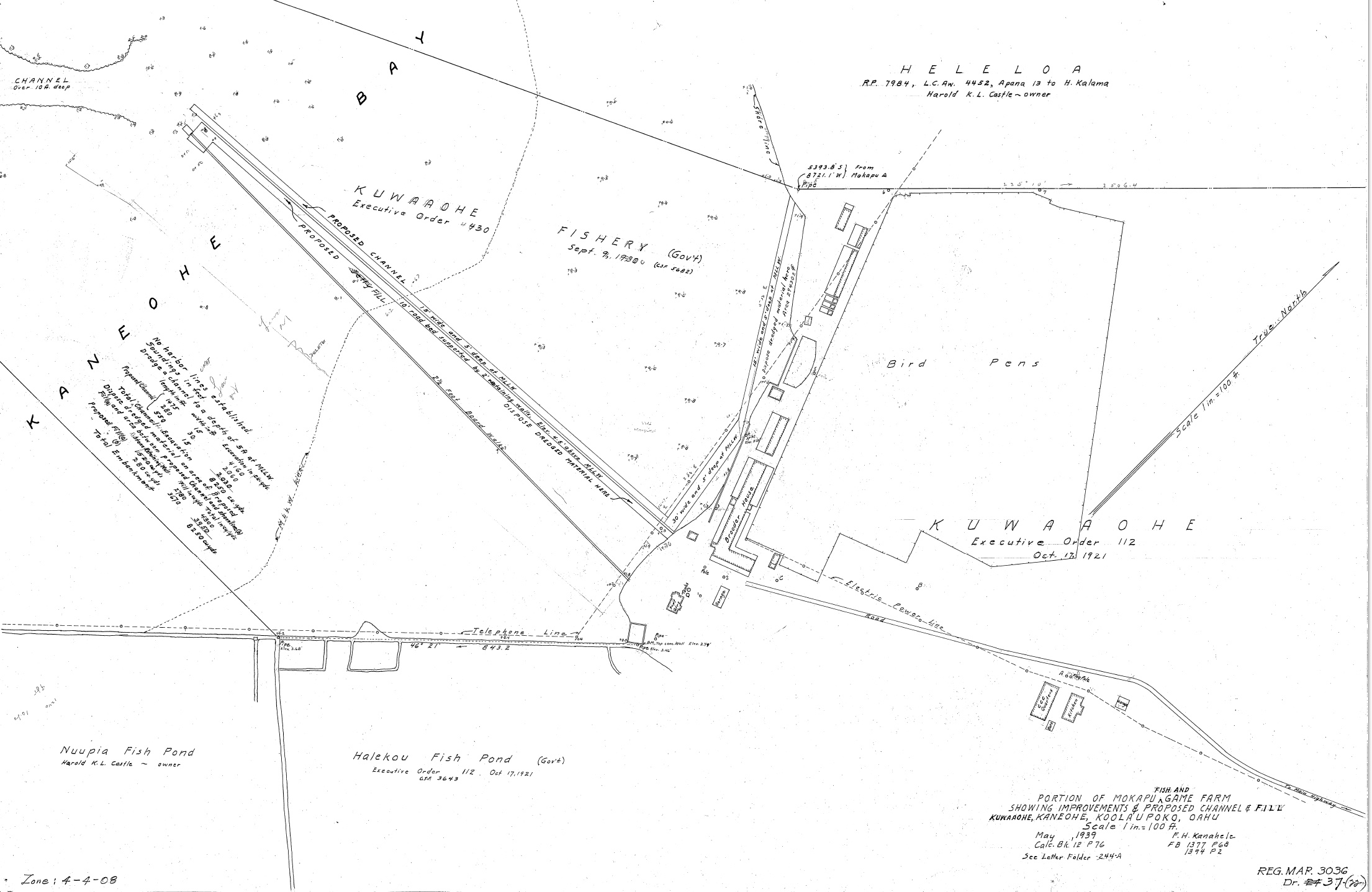
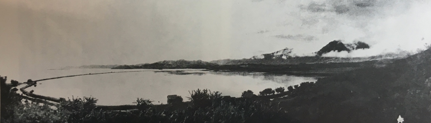
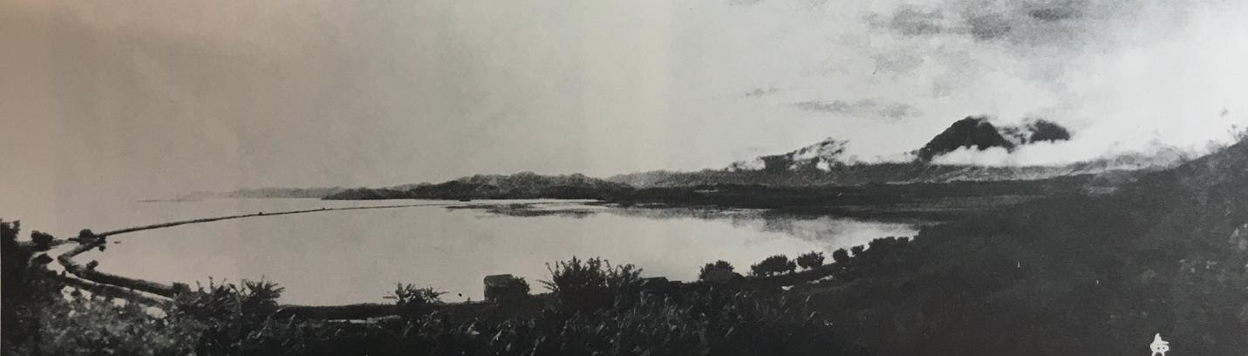
Historic Maps of Heʻeia
Scroll through the images below: